|
search place name
|
||
Aş Şulaybī (Saudi Arabia)Aş Şulaybī is a town in Saudi Arabia. An overview map of the region around Aş Şulaybī is displayed below.
regional and 3d topo map of Aş Şulaybī, Saudi Arabia ::

Aş Şulaybī airports ::
The nearest airport is ELQ - Gassim, located 104.7 km north east of Aş Şulaybī.
Other airports nearby include HAS - Hail (242.4 km north west), Nearby towns ::
Al Ḩumaymah (1.6km south west) //
Ḩujrat al Bayḑah (1.6km south west) //
Az Zihayrīyah (3.5km west) //
Mahdūmah (8.3km north east) //
[all distances 'as the bird flies' and approximate] 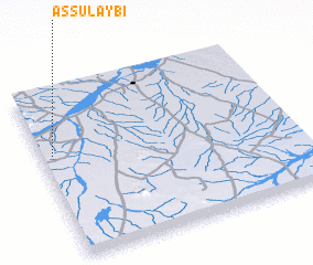 Places with similar names to Aş Şulaybī, Saudi Arabia ::
// Aş Şulayb (OM)
// Aselebe (NG)
// Asalibi (PG)
// Aş Şulayyib (LB)
// Aş Şulayyib (LB)
// Asselbou (DZ)
// Åselby (SE)
// Aislaby (GB)
// As Salab (YE)
// As Salab (YE)
Disclaimer :: Information on this page comes without warranty of any kind |
||
|
Where is Aş Şulaybī? Elevation and coordinates ::
Latitude (lat): 25°37'28"N Longitude (lon): 43°2'47"E
Elevation (approx.): 731m (map arrows pan, magnifying glasses zoom) |
||
|
Visiting Aş Şulaybī? Hotel/Accommodation ::
Book a hotel in Aş Şulaybī Travel Guide ::
rental cars ::
car rental offers GPS waypoint ::
download a GPX waypoint (PoI) of Aş Şulaybī for your GPS receiver
|
||