|
search place name
|
||
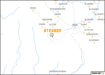
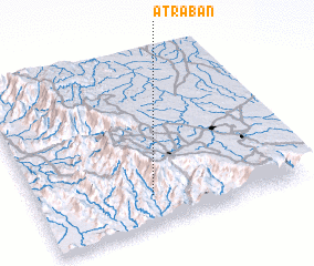
‘Atrabān (Saudi Arabia)‘Atrabān is a town in Saudi Arabia. An overview map of the region around ‘Atrabān is displayed below.
regional and 3d topo map of ‘Atrabān, Saudi Arabia ::
‘Atrabān airports ::
The nearest airport is AHB - Abha, located 24.4 km east of ‘Atrabān.
Other airports nearby include GIZ - Gizan King Abdullah Bin Abdulaziz (142.8 km south), BHH - Bisha (200.3 km north), EAM - Nejran (219.7 km east), Nearby towns ::
Disclaimer :: Information on this page comes without warranty of any kind |
||
|
Where is ‘Atrabān? Elevation and coordinates ::
Latitude (lat): 18°11'0"N Longitude (lon): 42°26'0"E
Elevation (approx.): 2603m (map arrows pan, magnifying glasses zoom) |
||
|
Visiting ‘Atrabān? Hotel/Accommodation ::
Book a hotel in ‘Atrabān Travel Guide ::
rental cars ::
car rental offers GPS waypoint ::
download a GPX waypoint (PoI) of ‘Atrabān for your GPS receiver
|
||