|
search place name
|
||
Sha‘thāʼ (Al Madīnah, Saudi Arabia)Sha‘thāʼ is a town in the Al Madīnah region of Saudi Arabia. An overview map of the region around Sha‘thāʼ is displayed below.
regional and 3d topo map of Sha‘thāʼ, Saudi Arabia ::

Sha‘thāʼ airports ::
The nearest airport is YNB - Yenbo, located 48.8 km west of Sha‘thāʼ.
Other airports nearby include MED - Madinah Prince Mohammad Bin Abdulaziz (124.0 km east), Nearby towns ::
Al Jabrīyah (2.5km north west) //
Ḩarthīyah (2.5km north east) //
Suqubiya (3.4km west) //
‘Ajmīyah (3.9km south west) //
Fiji (5.0km north east) //
Khayf Fāḑil (5.0km north east) //
Ḩasā (7.5km north east) //
Barţīyah (7.5km north east) //
[all distances 'as the bird flies' and approximate] 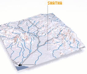 Places with similar names to Sha‘thāʼ, Saudi Arabia ::
Disclaimer :: Information on this page comes without warranty of any kind |
||
|
Where is Sha‘thāʼ? Elevation and coordinates ::
Latitude (lat): 24°14'0"N Longitude (lon): 38°32'0"E
Elevation (approx.): 134m (map arrows pan, magnifying glasses zoom) |
||
|
Visiting Sha‘thāʼ? Hotel/Accommodation ::
Book a hotel in Sha‘thāʼ Travel Guide ::
rental cars ::
car rental offers GPS waypoint ::
download a GPX waypoint (PoI) of Sha‘thāʼ for your GPS receiver
|
||