|
search place name
|
||
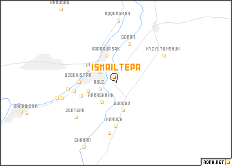
Ismailtepa (Surxondaryo, Uzbekistan)Ismailtepa is a town in the Surxondaryo region of Uzbekistan. An overview map of the region around Ismailtepa is displayed below.
regional and 3d topo map of Ismailtepa, Uzbekistan ::
Ismailtepa airports ::
The nearest airport is MZR - Mazar-i-sharif Mazar I Sharif, located 89.8 km south of Ismailtepa.
Other airports nearby include UND - Kunduz Konduz (159.3 km south east), DYU - Dushanbe (168.0 km north east), Nearby towns ::
Abuz (2.2km south west) //
Jarqo'rg'on (2.7km north west) //
Karashakh (3.5km south west) //
Gurgur (4.5km south) //
Yetimshak (3.8km west) //
Karakursak (4.6km north) //
Minor (4.9km south west) //
Uzbekistan (4.7km west) //
Goran (6.5km north) //
Laykand (5.5km west) //
Kiprich (6.9km south) //
Ittifrak (6.2km west) //
Aktepa (8.1km south) //
Zortepa (7.5km south west) //
Kyzyltumshuk (7.6km north east) //
Tupqora (7.4km west) //
[all distances 'as the bird flies' and approximate] 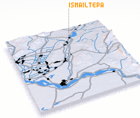 Places with similar names to Ismailtepa, Uzbekistan :: Disclaimer :: Information on this page comes without warranty of any kind |
||
|
Where is Ismailtepa? Elevation and coordinates ::
Latitude (lat): 37°29'36"N Longitude (lon): 67°26'49"E
Elevation (approx.): 345m (map arrows pan, magnifying glasses zoom) |
||
|
Visiting Ismailtepa? Hotel/Accommodation ::
Book a hotel in Ismailtepa Travel Guide ::
Buy a travel guide for Uzbekistan rental cars ::
car rental offers GPS waypoint ::
download a GPX waypoint (PoI) of Ismailtepa for your GPS receiver
|
||