|
search place name
|
||
Kata-Kulʼyan (Uzbekistan)Kata-Kulʼyan is a town in Uzbekistan. An overview map of the region around Kata-Kulʼyan is displayed below.
regional and 3d topo map of Kata-Kulʼyan, Uzbekistan ::

Kata-Kulʼyan airports ::
The nearest airport is BHK - Bukhara, located 21.9 km east of Kata-Kulʼyan.
Nearby towns ::
Sama-i-Dzhay (2.9km east) //
Khazarman (4.0km south) //
Murgak (3.4km south east) //
Imari (5.7km north) //
Rakhim-Abad (5.7km north) //
Jondor (4.7km west) //
Khumin (5.7km south west) //
Yanshabad (6.0km west) //
Dekh-i-Saiadin (7.0km north east) //
Kala (7.9km north) //
Khasokar (8.0km south west) //
Arab-Khana (8.0km north east) //
Kipchak (9.4km south west) //
Roimabad (9.4km south west) //
Lukman (9.4km north west) //
[all distances 'as the bird flies' and approximate] 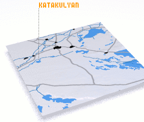 Places with similar names to Kata-Kulʼyan, Uzbekistan ::
// Kot Kalyān (PK)
Disclaimer :: Information on this page comes without warranty of any kind |
||
|
Where is Kata-Kulʼyan? Elevation and coordinates ::
Latitude (lat): 39°44'0"N Longitude (lon): 64°14'0"E
Elevation (approx.): 214m (map arrows pan, magnifying glasses zoom) |
||
|
Visiting Kata-Kulʼyan? Hotel/Accommodation ::
Book a hotel in Kata-Kulʼyan Travel Guide ::
Buy a travel guide for Uzbekistan rental cars ::
car rental offers GPS waypoint ::
download a GPX waypoint (PoI) of Kata-Kulʼyan for your GPS receiver
|
||