|
search place name
|
||
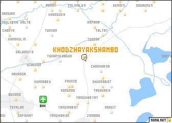
Khodzha-Yakshambo (Buxoro, Uzbekistan)Khodzha-Yakshambo is a town in the Buxoro region of Uzbekistan. An overview map of the region around Khodzha-Yakshambo is displayed below.
regional and 3d topo map of Khodzha-Yakshambo, Uzbekistan ::
Khodzha-Yakshambo airports ::
The nearest airport is BHK - Bukhara, located 11.0 km south west of Khodzha-Yakshambo.
Nearby towns ::
Yaglau (1.9km north) //
Char-Khana (3.3km south east) //
Tumrok (4.0km north) //
Siyazy-Payan (4.6km south east) //
Yukarykobdun (4.3km west) //
Frunze (5.9km south west) //
Shur-Rabat (6.2km south east) //
Bogoudin (6.2km south west) //
Taltay (6.3km north east) //
Rafana (7.6km north) //
Kalandar-Khana (7.0km south east) //
Tash-Kash (7.9km south) //
Kongrad (7.9km south) //
Kuyu-Mazar (8.6km north east) //
Turkan (8.0km north west) //
[all distances 'as the bird flies' and approximate] 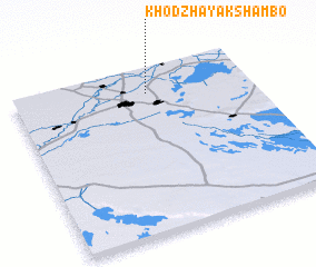 Places with similar names to Khodzha-Yakshambo, Uzbekistan :: Disclaimer :: Information on this page comes without warranty of any kind |
||
|
Where is Khodzha-Yakshambo? Elevation and coordinates ::
Latitude (lat): 39°50'59"N Longitude (lon): 64°34'1"E
Elevation (approx.): 230m (map arrows pan, magnifying glasses zoom) |
||
|
Visiting Khodzha-Yakshambo? Hotel/Accommodation ::
Book a hotel in Khodzha-Yakshambo Travel Guide ::
Buy a travel guide for Uzbekistan rental cars ::
car rental offers GPS waypoint ::
download a GPX waypoint (PoI) of Khodzha-Yakshambo for your GPS receiver
|
||