|
search place name
|
||
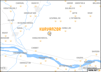
Kurvan-Zor (Uzbekistan)Kurvan-Zor is a town in Uzbekistan. An overview map of the region around Kurvan-Zor is displayed below.
regional and 3d topo map of Kurvan-Zor, Uzbekistan ::
Kurvan-Zor airports ::
The nearest airport is SKD - Samarkand, located 44.3 km west of Kurvan-Zor.
Other airports nearby include DYU - Dushanbe (165.0 km south east), TAS - Tashkent Yuzhny (239.1 km north east), Nearby towns ::
Khodzha-Manzilʼ (3.4km south west) //
Uzunbulak (5.7km north) //
Uzyum-Bulak (4.7km north east) //
Kushchi (6.3km north east) //
Chabat (7.0km south west) //
Changal (8.7km south) //
Dusmat (8.6km north west) //
Kara-Kursak (9.4km north west) //
[all distances 'as the bird flies' and approximate] 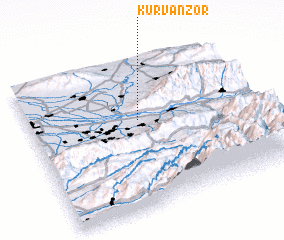 Places with similar names to Kurvan-Zor, Uzbekistan ::
// Kervansaray (TR)
// Kervansaray (TR)
// Kervansaray (TR)
// Kervansaray (TR)
// Karavan-Saray (UZ)
// Kārvānsarā (IR)
// Kārvānsarā (IR)
// Kārvānsarā (IR)
// Kārvānsarā (IR)
// Kārvānsarā (IR)
Disclaimer :: Information on this page comes without warranty of any kind |
||
|
Where is Kurvan-Zor? Elevation and coordinates ::
Latitude (lat): 39°36'0"N Longitude (lon): 67°29'0"E
Elevation (approx.): 1217m (map arrows pan, magnifying glasses zoom) |
||
|
Visiting Kurvan-Zor? Hotel/Accommodation ::
Book a hotel in Kurvan-Zor Travel Guide ::
Buy a travel guide for Uzbekistan rental cars ::
car rental offers GPS waypoint ::
download a GPX waypoint (PoI) of Kurvan-Zor for your GPS receiver
|
||