|
search place name
|
||
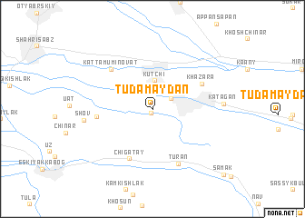
Tudamaydan (Qashqadaryo, Uzbekistan)Tudamaydan is a town in the Qashqadaryo region of Uzbekistan. An overview map of the region around Tudamaydan is displayed below.
regional and 3d topo map of Tudamaydan, Uzbekistan ::
Tudamaydan airports ::
The nearest airport is SKD - Samarkand, located 79.0 km north of Tudamaydan.
Other airports nearby include DYU - Dushanbe (169.3 km east), Nearby towns ::
Susultan (0.6km south) //
Bay-Kurgan (2.2km north east) //
Kutchi (3.5km north) //
Chigatay (6.5km south) //
Khazara (5.6km north east) //
Muchun (5.4km west) //
Katta-Muminovat (6.3km north west) //
Turan (7.1km south) //
Shov (6.7km west) //
Katagan (6.8km east) //
Samak (10.5km south east) //
[all distances 'as the bird flies' and approximate] 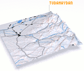 Places with similar names to Tudamaydan, Uzbekistan ::
// Datametan (TP)
// Tudamaydan (UZ)
Disclaimer :: Information on this page comes without warranty of any kind |
||
|
Where is Tudamaydan? Elevation and coordinates ::
Latitude (lat): 38°59'21"N Longitude (lon): 66°57'44"E
Elevation (approx.): 789m (map arrows pan, magnifying glasses zoom) |
||
|
Visiting Tudamaydan? Hotel/Accommodation ::
Book a hotel in Tudamaydan Travel Guide ::
Buy a travel guide for Uzbekistan rental cars ::
car rental offers GPS waypoint ::
download a GPX waypoint (PoI) of Tudamaydan for your GPS receiver
|
||