|
search place name
|
||
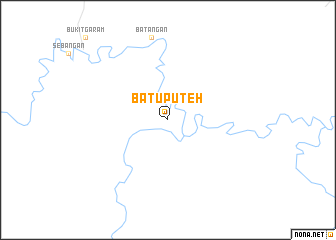
Batu Puteh (Sabah, Malaysia)Batu Puteh is a town in the Sabah region of Malaysia. An overview map of the region around Batu Puteh is displayed below.
regional and 3d topo map of Batu Puteh, Malaysia ::
Batu Puteh airports ::
The nearest airport is LDU - Lahad Datu, located 62.0 km south east of Batu Puteh.
Other airports nearby include TWU - Tawau (124.1 km south), BKI - Kota Kinabalu Intl (214.5 km west), Nearby towns ::
[all distances 'as the bird flies' and approximate] 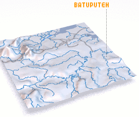 Places with similar names to Batu Puteh, Malaysia ::
// Battipiedi (IT)
// Bátaapáti (HU)
// Batupute (ID)
// Batu Puti (ID)
// Batuputih (ID)
// Batuputih (ID)
// Batuputih (ID)
// Batepito (MX)
// Batopito (MX)
// Batu Puteh (MY)
Disclaimer :: Information on this page comes without warranty of any kind |
||
|
Where is Batu Puteh? Elevation and coordinates ::
Latitude (lat): 5°25'0"N Longitude (lon): 117°55'0"E
Elevation (approx.): 11m (map arrows pan, magnifying glasses zoom) |
||
|
Visiting Batu Puteh? Hotel/Accommodation ::
Book a hotel in Batu Puteh Travel Guide ::
Buy a travel guide for Malaysia rental cars ::
car rental offers GPS waypoint ::
download a GPX waypoint (PoI) of Batu Puteh for your GPS receiver
|
||