|
search place name
|
||
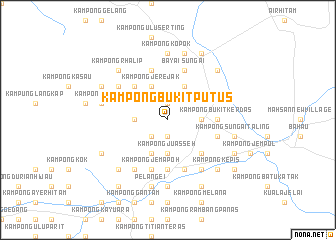
Kampong Bukit Putus (Negeri Sembilan, Malaysia)Kampong Bukit Putus is a town in the Negeri Sembilan region of Malaysia. An overview map of the region around Kampong Bukit Putus is displayed below.
regional and 3d topo map of Kampong Bukit Putus, Malaysia ::
Kampong Bukit Putus airports ::
The nearest airport is MKZ - Malacca, located 63.1 km south of Kampong Bukit Putus.
Other airports nearby include KUL - Kuala Lumpur Intl (64.5 km west), KUA - Kuantan (146.4 km north east), DUM - Dumai Pinang Kampai (165.1 km south west), JHB - Johor Bahru Sultan Ismail (202.9 km south east), Nearby towns ::
Kampong Batu Meraung (1.9km south) //
Kampong Juasseh Tengah (1.9km south) //
Kampong Sungai Talan (1.9km north) //
Kampong Penghulu (1.9km north) //
Kampong Ulu Juasseh (2.6km south west) //
Kampong Pasir Ambor (3.7km west) //
Kampong Juasseh (3.7km south) //
Batu Kikir (3.7km east) //
Kampong Bukit Perah (3.7km east) //
Kampong Sungai Tawang (4.1km south west) //
Kampong Jerejak (4.1km north west) //
Kampong Masuba (4.1km north west) //
Kampong Terentang (4.1km north east) //
Kampong Padang Lebar (5.2km north west) //
Kampong Mungkah (5.2km north west) //
Kampong Birah (5.2km north west) //
Bukit Gelugor New Village (5.2km south east) //
Kampong Kuala Jemapoh (5.6km south) //
Kampong Bukit Kerdas (5.6km east) //
Kampong Ulu Bayai (5.9km north) //
Kampong Batu Puteh (5.9km south) //
Kampong Jemapoh (5.9km south) //
Kampong Lonek (5.9km east) //
Sungai Bayai (5.9km north) //
Juasseh (5.9km south) //
Kampong Benting (6.7km south west) //
Kampong Tapak (6.7km north west) //
Kampong Bukit (6.7km north west) //
Kampong Kuala Mampanas (6.7km south east) //
[all distances 'as the bird flies' and approximate] 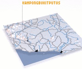 Places with similar names to Kampong Bukit Putus, Malaysia :: Disclaimer :: Information on this page comes without warranty of any kind |
||
|
Where is Kampong Bukit Putus? Elevation and coordinates ::
Latitude (lat): 2°50'0"N Longitude (lon): 102°17'0"E
Elevation (approx.): 217m (map arrows pan, magnifying glasses zoom) |
||
|
Visiting Kampong Bukit Putus? Hotel/Accommodation ::
Book a hotel in Kampong Bukit Putus Travel Guide ::
Buy a travel guide for Malaysia rental cars ::
car rental offers GPS waypoint ::
download a GPX waypoint (PoI) of Kampong Bukit Putus for your GPS receiver
|
||