|
search place name
|
||
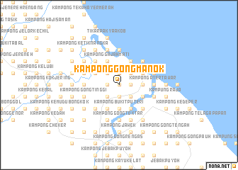
Kampong Gong Manok (Kelantan, Malaysia)Kampong Gong Manok is a town in the Kelantan region of Malaysia. An overview map of the region around Kampong Gong Manok is displayed below.
regional and 3d topo map of Kampong Gong Manok, Malaysia ::
Kampong Gong Manok airports ::
The nearest airport is KBR - Kota Bahru Sultan Ismail Petra, located 46.0 km north west of Kampong Gong Manok.
Other airports nearby include TGG - Kuala Terengganu Sultan Mahmud (80.8 km south east), NAW - Narathiwat (115.6 km north west), KTE - Kerteh (173.8 km south east), PAN - Pattani (185.0 km north west), Nearby towns ::
Pengkalan Nanka (0.0km north) //
Kampung Gong Kedak (0.0km north) //
Kampong Tok Saboh (1.8km east) //
Kampong Tok Kemala (1.9km north) //
Kampong Telaga Papan (1.9km north) //
Kampong Baru (1.9km south) //
Kampong Gong Tengah (1.8km west) //
Beris Tok Saboh (2.6km north east) //
Kampong Kayu Kelat (2.6km north east) //
Kampong Nangka (2.6km south east) //
Kampong Gong Surau (2.6km south east) //
Kampong Gong Manak (2.6km north west) //
Kampong Alor Badak (2.6km south west) //
Kampong Chawat (3.7km east) //
Kampong Lampu (3.7km east) //
Pengkalan Ubi Keling (3.7km east) //
Kampong Bukit Puteri (3.7km south) //
Kampong Nail (4.1km north east) //
Merabang Besar (4.1km north east) //
Kampong Pachakan (4.1km north east) //
Pachakan (4.1km north east) //
Kampong Pulau Salim (4.1km south east) //
Kampong Pinang (4.1km south east) //
Kampong Pak Bokor (4.1km south east) //
Kampong Sungai (4.1km south east) //
Kampong Parit (4.1km south east) //
Kampong Gajah Mati (4.1km north west) //
Kampong Beris Chalok (4.1km north west) //
Kampong Pintu Gajah (4.1km south east) //
[all distances 'as the bird flies' and approximate] 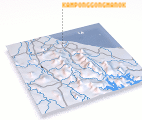 Places with similar names to Kampong Gong Manok, Malaysia ::
// Kampong Gong Ambong (MY)
// Kampong Gong Manak (MY)
Disclaimer :: Information on this page comes without warranty of any kind |
||
|
Where is Kampong Gong Manok? Elevation and coordinates ::
Latitude (lat): 5°49'0"N Longitude (lon): 102°31'0"E
Elevation (approx.): 4m (map arrows pan, magnifying glasses zoom) |
||
|
Visiting Kampong Gong Manok? Hotel/Accommodation ::
Book a hotel in Kampong Gong Manok Travel Guide ::
Buy a travel guide for Malaysia rental cars ::
car rental offers GPS waypoint ::
download a GPX waypoint (PoI) of Kampong Gong Manok for your GPS receiver
|
||