|
search place name
|
||
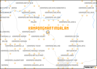
Kampong Mantin Dalam (Negeri Sembilan, Malaysia)Kampong Mantin Dalam is a town in the Negeri Sembilan region of Malaysia. An overview map of the region around Kampong Mantin Dalam is displayed below.
regional and 3d topo map of Kampong Mantin Dalam, Malaysia ::
Kampong Mantin Dalam airports ::
The nearest airport is KUL - Kuala Lumpur Intl, located 22.5 km west of Kampong Mantin Dalam.
Other airports nearby include MKZ - Malacca (72.6 km south east), DUM - Dumai Pinang Kampai (143.2 km south), KUA - Kuantan (180.0 km north east), IPH - Ipoh Sultan Azlan Shah (213.4 km north west), Nearby towns ::
Kampong Atap (0.0km north) //
Mantin (0.0km north) //
Kampong Baharu (0.0km north) //
Kampong Baharu Mantin (1.9km north) //
Kampong Masjid (1.9km west) //
Kampong Baharu Che Lah (1.9km west) //
Kampong Mantin (2.6km north west) //
Setul (2.6km south east) //
Kampong Ulu Mantin (2.6km south west) //
Kampong Gidong (2.6km south west) //
Kampong Junjun (2.6km south west) //
Kampong Sungai Machang Hilir (3.7km north) //
Kampong Gebok (4.1km north west) //
Kampong Kedat (4.1km south west) //
Kampong Lenggeng (5.2km north east) //
Kampong Rawa (5.2km north east) //
Kampong Sungai Raya (5.6km south) //
Kampong Sungai Bioh (5.6km north) //
Kampong Baharu Pajam (5.9km west) //
Kampong Beliho (5.9km south) //
Kampong Jelebu (5.9km north) //
Kampong Sungai Jai (5.9km north) //
Kampong Machang Hilir (5.9km north) //
Kampong Kuala Sungai Machang (5.9km north) //
Kampong Bukit Kepong (5.9km north) //
Kampong Sungai Machang Ulu (6.7km north east) //
Lengging (6.7km north east) //
Kampong Katup (6.7km north east) //
Kampong Sungai Petai (6.7km north east) //
[all distances 'as the bird flies' and approximate]  Places with similar names to Kampong Mantin Dalam, Malaysia :: Disclaimer :: Information on this page comes without warranty of any kind |
||
|
Where is Kampong Mantin Dalam? Elevation and coordinates ::
Latitude (lat): 2°49'0"N Longitude (lon): 101°54'0"E
Elevation (approx.): 66m (map arrows pan, magnifying glasses zoom) |
||
|
Visiting Kampong Mantin Dalam? Hotel/Accommodation ::
Book a hotel in Kampong Mantin Dalam Travel Guide ::
Buy a travel guide for Malaysia rental cars ::
car rental offers GPS waypoint ::
download a GPX waypoint (PoI) of Kampong Mantin Dalam for your GPS receiver
|
||