|
search place name
|
||
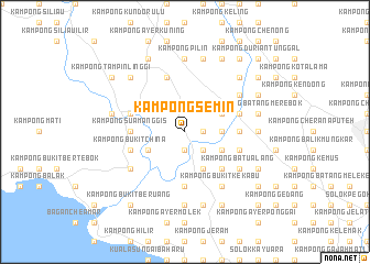
Kampong Semin (Negeri Sembilan, Malaysia)Kampong Semin is a town in the Negeri Sembilan region of Malaysia. An overview map of the region around Kampong Semin is displayed below.
regional and 3d topo map of Kampong Semin, Malaysia ::
Kampong Semin airports ::
The nearest airport is MKZ - Malacca, located 30.5 km south east of Kampong Semin.
Other airports nearby include KUL - Kuala Lumpur Intl (50.3 km north west), DUM - Dumai Pinang Kampai (118.1 km south west), KUA - Kuantan (192.5 km north east), JHB - Johor Bahru Sultan Ismail (200.3 km south east), Nearby towns ::
Kampong Nerambai (1.9km east) //
Kampong Telok Berembang (1.9km south) //
Lubuk Cina (1.9km south) //
Pengkalan Paoh (1.9km south) //
Kampong Baharu (2.6km south east) //
Kampong Paya Lebar (3.7km east) //
Kampong Limau Kambing (3.7km east) //
Kampong Titian Akar (3.7km east) //
Kampong Sawah Rajah (4.1km north east) //
Kampong Tiga Batu (4.1km north east) //
Kampong Titian Bintangor (4.1km south east) //
Kampong Kubang Badak (4.1km south east) //
Kampong Ramuan China Kechil (4.1km south east) //
Pengkalan (4.1km south west) //
Kampong Sungai Jerneh (5.2km south east) //
Kampong Permatang Pasir (5.6km west) //
Kampong Sua Manggis (5.6km west) //
Kampong Bukit Jelutong (5.6km east) //
Kampong Paya Lebar (5.6km south) //
Kampong Semerbok (5.9km east) //
Kampong Pengkalan Kundang (5.9km west) //
Kampong Pengkalan Durian (5.9km west) //
Pengkalan Kempas (5.9km west) //
Kampong Lubok Buntal (5.9km east) //
Kampong Sungai Siput (5.9km east) //
Kampong Bukit China (5.9km west) //
Kampong Paya Lebar (5.9km north) //
Kampong Kundor Hilir (5.9km north) //
Kampong Pilin Hilir (5.9km north) //
[all distances 'as the bird flies' and approximate] 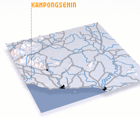 Places with similar names to Kampong Semin, Malaysia ::
Disclaimer :: Information on this page comes without warranty of any kind |
||
|
Where is Kampong Semin? Elevation and coordinates ::
Latitude (lat): 2°28'0"N Longitude (lon): 102°4'0"E
Elevation (approx.): 24m (map arrows pan, magnifying glasses zoom) |
||
|
Visiting Kampong Semin? Hotel/Accommodation ::
Book a hotel in Kampong Semin Travel Guide ::
Buy a travel guide for Malaysia rental cars ::
car rental offers GPS waypoint ::
download a GPX waypoint (PoI) of Kampong Semin for your GPS receiver
|
||