|
search place name
|
||
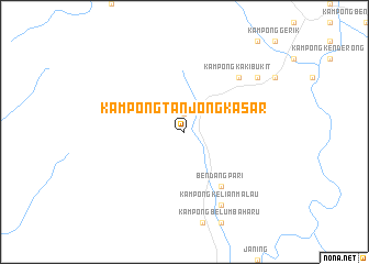
Kampong Tanjong Kasar (Perak, Malaysia)Kampong Tanjong Kasar is a town in the Perak region of Malaysia. An overview map of the region around Kampong Tanjong Kasar is displayed below.
regional and 3d topo map of Kampong Tanjong Kasar, Malaysia ::
Kampong Tanjong Kasar airports ::
The nearest airport is PEN - Penang Intl, located 84.1 km west of Kampong Tanjong Kasar.
Other airports nearby include IPH - Ipoh Sultan Azlan Shah (86.7 km south), AOR - Alor Setar Sultan Abdul Halim (116.5 km north west), NAW - Narathiwat (151.4 km north east), PAN - Pattani (159.3 km north), Nearby towns ::
Kampung Kenayat Besar (1.9km north) //
Lawin (6.7km south east) //
Bendang Pari (6.7km south east) //
Kampong Kaki Bukit (7.8km north east) //
Kampung Tawai (7.8km north east) //
Kampong Kelian Malau (8.3km south east) //
Kampong Sira Kulim (9.2km north east) //
[all distances 'as the bird flies' and approximate] 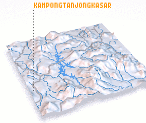 Places with similar names to Kampong Tanjong Kasar, Malaysia ::
// Kampong Tanjong Agas (MY)
// Kampong Tanjong Agas (MY)
// Kampong Tanjong Kabong (MY)
// Kampong Tanjong Kala (MY)
// Kampong Tanjong Kapor (MY)
// Kampong Tanjong Kapor (MY)
// Kampong Tanjong Kapur (MY)
// Kampong Tanjong Keling (MY)
// Kampong Tanjong Keling (MY)
// Kampong Tanjong Keluang (MY)
Disclaimer :: Information on this page comes without warranty of any kind |
||
|
Where is Kampong Tanjong Kasar? Elevation and coordinates ::
Latitude (lat): 5°21'0"N Longitude (lon): 101°2'0"E
Elevation (approx.): 183m (map arrows pan, magnifying glasses zoom) |
||
|
Visiting Kampong Tanjong Kasar? Hotel/Accommodation ::
Book a hotel in Kampong Tanjong Kasar Travel Guide ::
Buy a travel guide for Malaysia rental cars ::
car rental offers GPS waypoint ::
download a GPX waypoint (PoI) of Kampong Tanjong Kasar for your GPS receiver
|
||