|
search place name
|
||
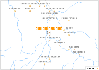
Rumah Insungai (Sarawak, Malaysia)Rumah Insungai is a town in the Sarawak region of Malaysia. An overview map of the region around Rumah Insungai is displayed below.
regional and 3d topo map of Rumah Insungai, Malaysia ::
Rumah Insungai airports ::
The nearest airport is LMN - Limbang, located 46.8 km north of Rumah Insungai.
Other airports nearby include BWN - Brunei Intl (60.3 km north), MUR - Marudi (68.7 km west), MYY - Miri (101.7 km west), LBU - Labuan (106.9 km north), Nearby towns ::
Kampung Bukit Ajong (0.0km north) //
Rumah Kuala Medalam Baharu (0.0km north) //
Rumah Kuala Medalam (1.9km south) //
Rumah Bayong Palong (4.1km south east) //
Kampung Nanga Maruyu (4.1km south east) //
Rumah Kedu (5.2km south east) //
Rumah Belong (5.2km south east) //
Kampong Insurai (5.6km north) //
Kampung Rantau Kiran (5.8km east) //
Rumah Berandah (5.8km east) //
Rumah Rantau Kiran (5.8km east) //
Rumah Nanga Awang (6.7km north east) //
Rumah Imbang (7.4km east) //
Rumah Tanah Merah (7.4km north) //
Nanga Medamit (7.6km north) //
Rumah Pengkulu (9.2km north east) //
Kampung Rantau Kepayang (9.2km south east) //
[all distances 'as the bird flies' and approximate] 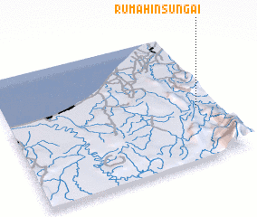 Places with similar names to Rumah Insungai, Malaysia :: Disclaimer :: Information on this page comes without warranty of any kind |
||
|
Where is Rumah Insungai? Elevation and coordinates ::
Latitude (lat): 4°24'0"N Longitude (lon): 114°54'0"E
Elevation (approx.): 29m (map arrows pan, magnifying glasses zoom) |
||
|
Visiting Rumah Insungai? Hotel/Accommodation ::
Book a hotel in Rumah Insungai Travel Guide ::
Buy a travel guide for Malaysia rental cars ::
car rental offers GPS waypoint ::
download a GPX waypoint (PoI) of Rumah Insungai for your GPS receiver
|
||