|
search place name
|
||
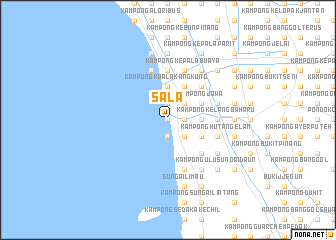
Sala (Kedah, Malaysia)Sala is a town in the Kedah region of Malaysia. An overview map of the region around Sala is displayed below.
regional and 3d topo map of Sala, Malaysia ::
Sala airports ::
The nearest airport is AOR - Alor Setar Sultan Abdul Halim, located 25.2 km north of Sala.
Other airports nearby include PEN - Penang Intl (74.5 km south), LGK - Pulau Langkawi Intl (79.6 km north west), HDY - Songkhla Hat Yai Intl (107.0 km north), PAN - Pattani (126.9 km north east), Nearby towns ::
Kampong Jemerlang (0.0km north) //
Kampong Alor Tok Ha (0.0km north) //
Kampong Sala Kechil (1.9km north) //
Kampong Permatang Kangkong (1.9km north) //
Kampong Permatang Bongor (1.9km north) //
Kampong Berhala Bangka (1.9km south) //
Kampong Alor Nibong (1.8km east) //
Kampong Pisang (2.6km north east) //
Kampong Permatang Buloh (2.6km south east) //
Kampong Kubang Busok (2.6km south east) //
Kampong Baru (2.6km south east) //
Kampong Permatang Keling (2.6km south east) //
Kampung Kuala Kang Kung (3.7km north) //
Bakong (3.7km east) //
Kampong Alor Pudak (3.7km east) //
Kampong Pak Jalil (4.1km north east) //
Kampong Jawa (4.1km north east) //
Kampong Alor Serdang (4.1km north east) //
Kampong Padang Jambu (4.1km north east) //
Kampong Jerang Belanga (4.1km south east) //
Kampong Senggora (5.2km north east) //
Kampong Lahar Kelambu (5.2km north east) //
Kampong Pisang (5.2km north east) //
Kampong Lat Anam (5.2km south east) //
Kampong Permatang Ibus (5.6km north) //
Kampong Darat Sungai Nonang (5.6km north) //
Kampong Kelang Baharu (5.5km east) //
Kampong Buloh Lima (5.8km east) //
Kota Sarang Semut (5.8km east) //
[all distances 'as the bird flies' and approximate]  Places with similar names to Sala, Malaysia ::
Disclaimer :: Information on this page comes without warranty of any kind |
||
|
Where is Sala? Elevation and coordinates ::
Latitude (lat): 5°58'0"N Longitude (lon): 100°21'0"E
Elevation (approx.): 4m (map arrows pan, magnifying glasses zoom) |
||
|
Visiting Sala? Hotel/Accommodation ::
Book a hotel in Sala Travel Guide ::
Buy a travel guide for Malaysia rental cars ::
car rental offers GPS waypoint ::
download a GPX waypoint (PoI) of Sala for your GPS receiver
|
||