|
search place name
|
||
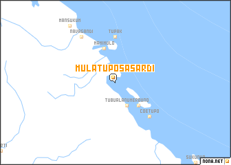
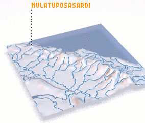
Mulatupo Sasardí (San Blas, Panama)Mulatupo Sasardí is a town in the San Blas region of Panama. An overview map of the region around Mulatupo Sasardí is displayed below.
regional and 3d topo map of Mulatupo Sasardí, Panama ::
Mulatupo Sasardí airports ::
The nearest airport is PTY - Panama City Tocumen Intl, located 180.1 km west of Mulatupo Sasardí.
Other airports nearby include PAC - Panama Marcos A Gelabert Intl (198.6 km west), HOW - Howard (203.5 km west), MTR - Monteria Los Garzones (212.1 km east), Nearby towns ::
 Places with similar names to Mulatupo Sasardí, Panama :: Disclaimer :: Information on this page comes without warranty of any kind |
||
|
Where is Mulatupo Sasardí? Elevation and coordinates ::
Latitude (lat): 8°57'0"N Longitude (lon): 77°45'0"W
Elevation (approx.): -32768m (map arrows pan, magnifying glasses zoom) |
||
|
Visiting Mulatupo Sasardí? Hotel/Accommodation ::
Book a hotel in Mulatupo Sasardí Travel Guide ::
Buy a travel guide for Panama rental cars ::
car rental offers GPS waypoint ::
download a GPX waypoint (PoI) of Mulatupo Sasardí for your GPS receiver
|
||