|
search place name
|
||
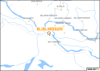
‘Alī al Ḩassūnī (Al Qādisīyah, Iraq)‘Alī al Ḩassūnī is a town in the Al Qādisīyah region of Iraq. An overview map of the region around ‘Alī al Ḩassūnī is displayed below.
regional and 3d topo map of ‘Alī al Ḩassūnī, Iraq ::
‘Alī al Ḩassūnī airports ::
The nearest airport is RAH - Rafha, located 237.7 km south west of ‘Alī al Ḩassūnī.
Nearby towns ::
Qaryat al Gharab (2.7km north west) //
Sayyid ‘Abbās (3.8km south east) //
Ḩarīz Sulţān (4.2km north east) //
Rāḑī al Shalīgham (4.7km east) //
Muḩsin Āl Nu‘mān (5.6km north east) //
Salmān an Najjār (6.5km north) //
Salmān al Jabbār (6.9km north east) //
Sayyid Falīḩ (7.5km north west) //
Sayyid Nūr (8.7km north west) //
[all distances 'as the bird flies' and approximate] 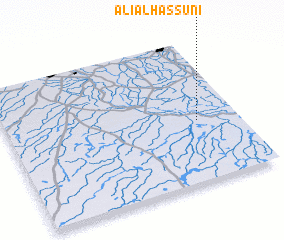 Places with similar names to ‘Alī al Ḩassūnī, Iraq ::
Disclaimer :: Information on this page comes without warranty of any kind |
||
|
Where is ‘Alī al Ḩassūnī? Elevation and coordinates ::
Latitude (lat): 31°26'5"N Longitude (lon): 44°49'19"E
Elevation (approx.): 15m (map arrows pan, magnifying glasses zoom) |
||
|
Visiting ‘Alī al Ḩassūnī? Hotel/Accommodation ::
Book a hotel in ‘Alī al Ḩassūnī Travel Guide ::
Buy a travel guide for Iraq rental cars ::
car rental offers GPS waypoint ::
download a GPX waypoint (PoI) of ‘Alī al Ḩassūnī for your GPS receiver
|
||