|
search place name
|
||
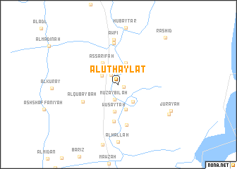
Al Uţḩaylāt (Al Başrah, Iraq)Al Uţḩaylāt is a town in the Al Başrah region of Iraq. An overview map of the region around Al Uţḩaylāt is displayed below.
regional and 3d topo map of Al Uţḩaylāt, Iraq ::
Al Uţḩaylāt airports ::
The nearest airport is BSR - Basrah Intl, located 72.0 km south of Al Uţḩaylāt.
Other airports nearby include ABD - Abadan (116.3 km south east), AWZ - Ahwaz (127.3 km east), MRX - Bandar Mahshahr Mahshahr (177.3 km east), QMJ - Masjed Soleiman Shahid Asyaee (196.8 km north east), Nearby towns ::
Al Jawabir (0.8km south east) //
Nakhāsh (1.8km north west) //
Muzaybilah (2.4km south) //
Tall al Kuwayfah (2.8km north) //
Şakhrījah (2.7km north west) //
Al Huraybah (3.4km south east) //
Ālbū Musād (3.5km north) //
Khiḑr (4.1km south) //
Aş Şarīfah (4.0km north west) //
Wuşayţah (4.4km south) //
As Sīḩ (5.9km south) //
Al Qubaybah (5.6km south west) //
‘Urayj (6.5km north) //
Humāyūn (6.5km south) //
‘Awfī (7.1km north) //
Al Maţla‘ (8.3km south east) //
Juray‘ah (8.3km south east) //
Rashīd (9.8km north east) //
[all distances 'as the bird flies' and approximate] 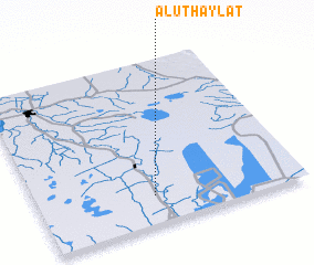 Places with similar names to Al Uţḩaylāt, Iraq :: Disclaimer :: Information on this page comes without warranty of any kind |
||
|
Where is Al Uţḩaylāt? Elevation and coordinates ::
Latitude (lat): 31°10'10"N Longitude (lon): 47°26'22"E
Elevation (approx.): 5m (map arrows pan, magnifying glasses zoom) |
||
|
Visiting Al Uţḩaylāt? Hotel/Accommodation ::
Book a hotel in Al Uţḩaylāt Travel Guide ::
Buy a travel guide for Iraq rental cars ::
car rental offers GPS waypoint ::
download a GPX waypoint (PoI) of Al Uţḩaylāt for your GPS receiver
|
||