|
search place name
|
||
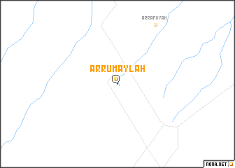
Ar Rumaylah (Al Başrah, Iraq)Ar Rumaylah is a town in the Al Başrah region of Iraq. An overview map of the region around Ar Rumaylah is displayed below.
regional and 3d topo map of Ar Rumaylah, Iraq ::
Ar Rumaylah airports ::
The nearest airport is BSR - Basrah Intl, located 42.8 km north east of Ar Rumaylah.
Other airports nearby include ABD - Abadan (85.2 km east), KWI - Kuwait Intl (130.7 km south east), MRX - Bandar Mahshahr Mahshahr (176.0 km east), AWZ - Ahwaz (179.3 km north east), Nearby towns ::
[all distances 'as the bird flies' and approximate]  Places with similar names to Ar Rumaylah, Iraq ::
// Arimal (PH)
// Armel (US)
// Armila (PA)
// Ar Rumaylah (IQ)
// Armil (PT)
// Arrimal (PT)
// Arrë-Mollë (AL)
// Ar Raml (EG)
// Ar Ramlah (EG)
// Ar Rimālī (EG)
Disclaimer :: Information on this page comes without warranty of any kind |
||
|
Where is Ar Rumaylah? Elevation and coordinates ::
Latitude (lat): 30°16'27"N Longitude (lon): 47°20'59"E
Elevation (approx.): 48m (map arrows pan, magnifying glasses zoom) |
||
|
Visiting Ar Rumaylah? Hotel/Accommodation ::
Book a hotel in Ar Rumaylah Travel Guide ::
Buy a travel guide for Iraq rental cars ::
car rental offers GPS waypoint ::
download a GPX waypoint (PoI) of Ar Rumaylah for your GPS receiver
|
||