|
search place name
|
||
Bāwah Nūr (As Sulaymānīyah, Iraq)Bāwah Nūr is a town in the As Sulaymānīyah region of Iraq. An overview map of the region around Bāwah Nūr is displayed below.
regional and 3d topo map of Bāwah Nūr, Iraq ::

Bāwah Nūr airports ::
The nearest airport is SDG - Sanandaj, located 144.8 km east of Bāwah Nūr.
Other airports nearby include KSH - Bakhtaran Shahid Ashrafi Esfahani (160.3 km east), Nearby towns ::
Sayyid Mahmūd (2.1km south) //
Qarah Charm (2.1km south east) //
Bīyarash (4.4km south west) //
Galālkawa (4.3km north west) //
Qal‘at Barz (4.9km south west) //
Darūnī Khān (5.5km north east) //
Qal‘ah Tappah (5.7km south) //
Warmizyar (5.7km south west) //
Rand ‘Alī Khān (6.4km south west) //
‘Alī Pakān (5.6km east) //
‘Īsāwī (7.3km south west) //
Ma‘rūf Khazān (8.3km south) //
Papiaolla Zairin (9.0km north) //
Khūrkhūr (7.7km east) //
Qal‘at Mullā (8.8km south west) //
Zalkah (8.5km south east) //
Yāsīn ‘Arab (9.7km north east) //
[all distances 'as the bird flies' and approximate] 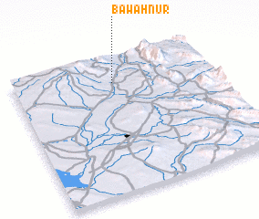 Places with similar names to Bāwah Nūr, Iraq :: Disclaimer :: Information on this page comes without warranty of any kind |
||
|
Where is Bāwah Nūr? Elevation and coordinates ::
Latitude (lat): 34°49'18"N Longitude (lon): 45°30'30"E
Elevation (approx.): 329m (map arrows pan, magnifying glasses zoom) |
||
|
Visiting Bāwah Nūr? Hotel/Accommodation ::
Book a hotel in Bāwah Nūr Travel Guide ::
Buy a travel guide for Iraq rental cars ::
car rental offers GPS waypoint ::
download a GPX waypoint (PoI) of Bāwah Nūr for your GPS receiver
|
||