|
search place name
|
||
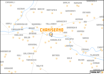
Chami Sermo (Dahūk, Iraq)Chami Sermo is a town in the Dahūk region of Iraq. An overview map of the region around Chami Sermo is displayed below.
regional and 3d topo map of Chami Sermo, Iraq ::
Chami Sermo airports ::
The nearest airport is VAN - Van, located 158.0 km north of Chami Sermo.
Other airports nearby include BAL - Batman (167.1 km north west), Nearby towns ::
Dashtmīr-ā Pichūk (1.8km south west) //
Abbāsīyah (1.7km north west) //
Khawālish (2.4km south east) //
Dashtmār-ā Mazin (2.8km south west) //
Kharāb Bābik (3.1km north east) //
Tall Kibār (3.6km north) //
Girzēwik (3.8km south) //
Zakho (3.2km north west) //
Tāwk (3.9km east) //
Ashkaft-ē Mārā (4.4km north west) //
Dārhōzān (5.3km north east) //
Chamibahiv (5.0km south east) //
Muhamadi (5.6km north west) //
Āfarma (5.4km west) //
Khilafki (5.6km east) //
Bēdār (6.0km west) //
Ōmar Āghā (6.2km east) //
Kānī Rahl (6.6km south west) //
Kūlī (7.0km south west) //
Batass (7.8km south) //
Birkav (6.8km south east) //
Hasanāwā (7.1km south west) //
Mantūfah (8.6km north) //
Sālgā (7.1km west) //
Gerik (8.0km north east) //
Dār Jalāl (9.1km north) //
Derkamīrī (9.9km north east) //
Dera Nūk (9.4km south east) //
Galī Zākhō (9.6km south west) //
[all distances 'as the bird flies' and approximate] 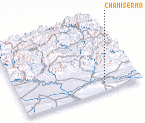 Places with similar names to Chami Sermo, Iraq :: Disclaimer :: Information on this page comes without warranty of any kind |
||
|
Where is Chami Sermo? Elevation and coordinates ::
Latitude (lat): 37°7'48"N Longitude (lon): 42°43'9"E
Elevation (approx.): 456m (map arrows pan, magnifying glasses zoom) |
||
|
Visiting Chami Sermo? Hotel/Accommodation ::
Book a hotel in Chami Sermo Travel Guide ::
Buy a travel guide for Iraq rental cars ::
car rental offers GPS waypoint ::
download a GPX waypoint (PoI) of Chami Sermo for your GPS receiver
|
||