|
search place name
|
||
Dawar (Wāsiţ, Iraq)Dawar is a town in the Wāsiţ region of Iraq. An overview map of the region around Dawar is displayed below.
regional and 3d topo map of Dawar, Iraq ::

Nearby towns ::
Qāsim Faqīr (2.1km north east) //
Jāsim Muḩammad Jadī‘ah (3.7km north) //
Bustān Dāwūd Bayk (4.2km east) //
Rashīd Ḩājjī Ḩamīd (5.5km north) //
Nāşir (5.5km north) //
‘Abbās aţ Ţı‘mah (5.0km north west) //
Dāʼūd Bayk (5.6km north) //
As Sayyid Tawfīq (6.2km north) //
Zunbūr (6.1km east) //
Aş Şuwayrah (7.4km south east) //
Sarabādī (7.2km north east) //
Sayyid ‘Ulaywī (9.5km south east) //
Shaykh Maz̧har (9.8km south east) //
[all distances 'as the bird flies' and approximate] 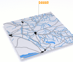 Places with similar names to Dawar, Iraq ::
Disclaimer :: Information on this page comes without warranty of any kind |
||
|
Where is Dawar? Elevation and coordinates ::
Latitude (lat): 32°59'2"N Longitude (lon): 44°44'17"E
Elevation (approx.): 30m (map arrows pan, magnifying glasses zoom) |
||
|
Visiting Dawar? Hotel/Accommodation ::
Book a hotel in Dawar Travel Guide ::
Buy a travel guide for Iraq rental cars ::
car rental offers GPS waypoint ::
download a GPX waypoint (PoI) of Dawar for your GPS receiver
|
||