|
search place name
|
||
Ḩājjī Jawād (An Najaf, Iraq)Ḩājjī Jawād is a town in the An Najaf region of Iraq. An overview map of the region around Ḩājjī Jawād is displayed below.
regional and 3d topo map of Ḩājjī Jawād, Iraq ::

Nearby towns ::
Sayyid ‘Abd Allāh (1.6km east) //
Sayyid Muḩammad (2.6km north) //
Mushīr al Mazhar (2.3km west) //
Qaryat ad Dasim (3.5km north) //
Jawāsim (3.2km west) //
‘Urqūb al Qurnah (3.7km south west) //
‘Abd al Wāḩid Shaţnān (5.8km north) //
Mazhar al Fir‘awn (5.1km east) //
Qaryat ‘Aqrab (6.2km north) //
Al Mishkhāb (5.4km east) //
Āl Zikrī (7.6km north) //
Ḩājjī Ḩasan (6.6km east) //
Umm Līrah (6.9km east) //
Manāzil as Sayyid Ḩassūn (7.9km south east) //
Muḩammad al Ḩājj ‘Abbūd (10.6km north west) //
At Tūbī (11.6km south east) //
[all distances 'as the bird flies' and approximate] 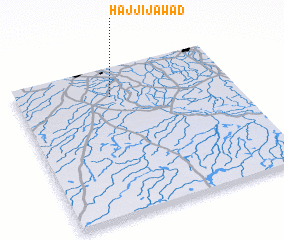 Places with similar names to Ḩājjī Jawād, Iraq :: Disclaimer :: Information on this page comes without warranty of any kind |
||
|
Where is Ḩājjī Jawād? Elevation and coordinates ::
Latitude (lat): 31°48'0"N Longitude (lon): 44°26'0"E
Elevation (approx.): 19m (map arrows pan, magnifying glasses zoom) |
||
|
Visiting Ḩājjī Jawād? Hotel/Accommodation ::
Book a hotel in Ḩājjī Jawād Travel Guide ::
Buy a travel guide for Iraq rental cars ::
car rental offers GPS waypoint ::
download a GPX waypoint (PoI) of Ḩājjī Jawād for your GPS receiver
|
||