|
search place name
|
||
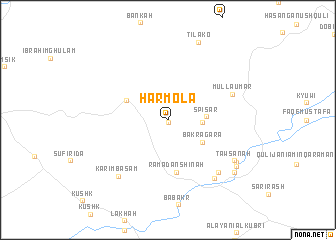
Harmōla (As Sulaymānīyah, Iraq)Harmōla is a town in the As Sulaymānīyah region of Iraq. An overview map of the region around Harmōla is displayed below.
regional and 3d topo map of Harmōla, Iraq ::
Harmōla airports ::
The nearest airport is SDG - Sanandaj, located 181.2 km east of Harmōla.
Nearby towns ::
Ḩasan Parchūn (0.3km south) //
Safīd Sar (3.1km east) //
Spīsar (3.5km east) //
Bakragara (4.0km south east) //
Bak Zādah (4.4km north west) //
Ramaḑān Shīnah (5.9km south) //
Mullā ‘Umar (6.6km north east) //
Khān Khuar (7.5km south east) //
Khan-i Raʼūf Āghā (7.7km south east) //
Karīm Bāsām (7.7km south west) //
Tawsānah (7.5km south east) //
Pāwisāna (7.8km south east) //
Tilakō (9.1km north) //
Khān-i Rustam Āghā (8.2km south east) //
Khān Zūr (8.5km south east) //
[all distances 'as the bird flies' and approximate] 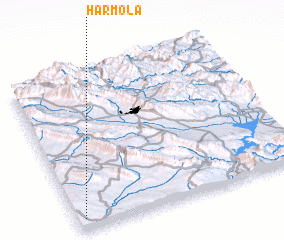 Places with similar names to Harmōla, Iraq ::
Disclaimer :: Information on this page comes without warranty of any kind |
||
|
Where is Harmōla? Elevation and coordinates ::
Latitude (lat): 35°4'11"N Longitude (lon): 45°1'57"E
Elevation (approx.): 572m (map arrows pan, magnifying glasses zoom) |
||
|
Visiting Harmōla? Hotel/Accommodation ::
Book a hotel in Harmōla Travel Guide ::
Buy a travel guide for Iraq rental cars ::
car rental offers GPS waypoint ::
download a GPX waypoint (PoI) of Harmōla for your GPS receiver
|
||