|
search place name
|
||
Kānī Bī (As Sulaymānīyah, Iraq)Kānī Bī is a town in the As Sulaymānīyah region of Iraq. An overview map of the region around Kānī Bī is displayed below.
regional and 3d topo map of Kānī Bī, Iraq ::
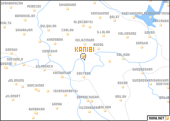
Nearby towns ::
Kēlazindān (3.6km north) //
Gök Tepe (3.7km south) //
Būgād (3.6km north east) //
Būl Qāmish (4.5km east) //
Kanī Hanjīr (5.5km south west) //
Illālāh (6.4km north east) //
Chālāw (6.6km north west) //
Kānī Kurdah (7.4km north) //
Kharābah (6.5km north west) //
Alqāzbaygī (7.7km north) //
Gōmeshīn (6.3km west) //
Kalīsah (6.9km east) //
Iskandar Baygī (8.4km south west) //
Gilnāgāch (7.5km west) //
‘Askar (9.0km south east) //
Qūlqūlah (9.4km north west) //
Nam Lasi (9.5km south west) //
Qalāt (10.3km north east) //
Māʼilah (11.0km south east) //
[all distances 'as the bird flies' and approximate] 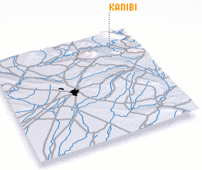 Places with similar names to Kānī Bī, Iraq ::
Disclaimer :: Information on this page comes without warranty of any kind |
||
|
Where is Kānī Bī? Elevation and coordinates ::
Latitude (lat): 35°52'51"N Longitude (lon): 44°50'10"E
Elevation (approx.): 410m (map arrows pan, magnifying glasses zoom) |
||
|
Visiting Kānī Bī? Hotel/Accommodation ::
Book a hotel in Kānī Bī Travel Guide ::
Buy a travel guide for Iraq rental cars ::
car rental offers GPS waypoint ::
download a GPX waypoint (PoI) of Kānī Bī for your GPS receiver
|
||