|
search place name
|
||
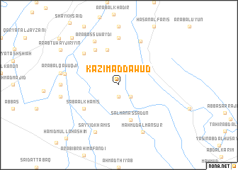
Kāz̧im ad Dāwūd (Diyālá, Iraq)Kāz̧im ad Dāwūd is a town in the Diyālá region of Iraq. An overview map of the region around Kāz̧im ad Dāwūd is displayed below.
regional and 3d topo map of Kāz̧im ad Dāwūd, Iraq ::
Nearby towns ::
Muţlaq (1.9km south) //
Yāsīn Tuwayjirī (2.4km south east) //
As Sayyid ‘Alī an Naqīb (5.8km north) //
Salmān as Sa‘dūn (5.8km south) //
As Sayyid Majīd (6.4km north west) //
Sābā al Khamīs (5.9km south west) //
Kāz̧im ash Shalāsh (7.4km north) //
Şunayjah (6.8km north west) //
Qaryat al ‘Umrānīyah (7.5km north east) //
‘Arab as Suwaydī (7.6km north west) //
Sayyid Khamīs (8.0km south west) //
Maḩmūd al Manşūr (8.0km south east) //
Abū Tīnah (7.3km west) //
Tawfīq al Jāman (9.6km north west) //
Ḩamīd Mullā Hāshim (10.9km south west) //
[all distances 'as the bird flies' and approximate] 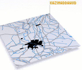 Places with similar names to Kāz̧im ad Dāwūd, Iraq :: Disclaimer :: Information on this page comes without warranty of any kind |
||
|
Where is Kāz̧im ad Dāwūd? Elevation and coordinates ::
Latitude (lat): 33°47'0"N Longitude (lon): 44°53'0"E
Elevation (approx.): 43m (map arrows pan, magnifying glasses zoom) |
||
|
Visiting Kāz̧im ad Dāwūd? Hotel/Accommodation ::
Book a hotel in Kāz̧im ad Dāwūd Travel Guide ::
Buy a travel guide for Iraq rental cars ::
car rental offers GPS waypoint ::
download a GPX waypoint (PoI) of Kāz̧im ad Dāwūd for your GPS receiver
|
||