|
search place name
|
||
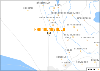
Khān al Muşallá (Bābil, Iraq)Khān al Muşallá is a town in the Bābil region of Iraq. An overview map of the region around Khān al Muşallá is displayed below.
regional and 3d topo map of Khān al Muşallá, Iraq ::
Nearby towns ::
Ja‘far (4.0km north) //
Āl ‘Abbās (3.9km north east) //
Ḩamādī al ‘Awdah (5.8km north) //
Mūsá al ‘Umrān as Sa‘dūn (5.9km north) //
Sayyid Şāliḩ (5.8km east) //
Dab‘ūn (5.8km east) //
Nāhī al Bandar (8.0km north) //
Muḩsin al Khurayţ (7.2km east) //
Sha‘lān (8.8km south east) //
Manşūr al Kalb (10.5km north east) //
[all distances 'as the bird flies' and approximate] 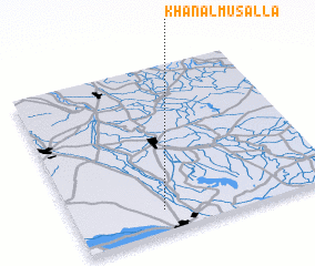 Places with similar names to Khān al Muşallá, Iraq :: Disclaimer :: Information on this page comes without warranty of any kind |
||
|
Where is Khān al Muşallá? Elevation and coordinates ::
Latitude (lat): 32°7'53"N Longitude (lon): 44°20'26"E
Elevation (approx.): 27m (map arrows pan, magnifying glasses zoom) |
||
|
Visiting Khān al Muşallá? Hotel/Accommodation ::
Book a hotel in Khān al Muşallá Travel Guide ::
Buy a travel guide for Iraq rental cars ::
car rental offers GPS waypoint ::
download a GPX waypoint (PoI) of Khān al Muşallá for your GPS receiver
|
||