|
search place name
|
||
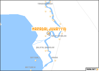
Ma‘raḑ al Juwayyid (Maysān, Iraq)Ma‘raḑ al Juwayyid is a town in the Maysān region of Iraq. An overview map of the region around Ma‘raḑ al Juwayyid is displayed below.
regional and 3d topo map of Ma‘raḑ al Juwayyid, Iraq ::
Ma‘raḑ al Juwayyid airports ::
The nearest airport is BSR - Basrah Intl, located 217.6 km south east of Ma‘raḑ al Juwayyid.
Other airports nearby include ABD - Abadan (261.1 km south east), Nearby towns ::
Fulayfilah (1.3km west) //
Qal‘at Ţirbālah (3.4km south east) //
Qal‘at Ḩusayn (4.0km east) //
Fadīyah (5.6km south) //
Bayt ‘Abbūd (5.8km north) //
Shaykh Jūwī (5.5km north east) //
Qal‘at al Qamandār (5.9km south) //
Shaykh Shāqir (5.2km east) //
Banjal (6.1km north) //
Bughayshīyah (7.2km north) //
Abū Chaţţāf (7.7km north) //
[all distances 'as the bird flies' and approximate] 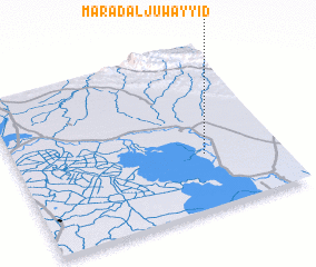 Places with similar names to Ma‘raḑ al Juwayyid, Iraq :: Disclaimer :: Information on this page comes without warranty of any kind |
||
|
Where is Ma‘raḑ al Juwayyid? Elevation and coordinates ::
Latitude (lat): 32°20'6"N Longitude (lon): 46°42'50"E
Elevation (approx.): 9m (map arrows pan, magnifying glasses zoom) |
||
|
Visiting Ma‘raḑ al Juwayyid? Hotel/Accommodation ::
Book a hotel in Ma‘raḑ al Juwayyid Travel Guide ::
Buy a travel guide for Iraq rental cars ::
car rental offers GPS waypoint ::
download a GPX waypoint (PoI) of Ma‘raḑ al Juwayyid for your GPS receiver
|
||