|
search place name
|
||
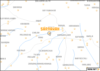
Sarnāwah (As Sulaymānīyah, Iraq)Sarnāwah is a town in the As Sulaymānīyah region of Iraq. An overview map of the region around Sarnāwah is displayed below.
regional and 3d topo map of Sarnāwah, Iraq ::
Sarnāwah airports ::
The nearest airport is SDG - Sanandaj, located 165.5 km east of Sarnāwah.
Other airports nearby include KSH - Bakhtaran Shahid Ashrafi Esfahani (186.5 km east), Nearby towns ::
Sarkal-i Khūsraw (2.1km north) //
Sarkāl (2.1km north) //
Qula Rēwīlah (2.3km south) //
Gōmahzard (3.2km north west) //
Gūmah Khūl (3.6km north west) //
Nāwū (3.3km south west) //
Chālah (4.2km west) //
Sarkāl-i Mārūf (4.3km north east) //
Sarkāl (4.6km north east) //
Gō Tappah (4.7km north east) //
Manşūr al Kān (4.5km east) //
Raqin (5.5km north west) //
Tīlakō-i Pichūk (7.0km south) //
Zardah (8.2km south) //
Tepeh Barāz (6.8km east) //
Sayyid Bīkhan (8.4km north) //
Hājj ‘Abd al Karīm (7.0km east) //
Hawārah Barzah (7.0km east) //
Zardah Maḩmūd Qādir (9.0km south) //
Tīlākū (9.2km south west) //
[all distances 'as the bird flies' and approximate] 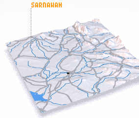 Places with similar names to Sarnāwah, Iraq ::
Disclaimer :: Information on this page comes without warranty of any kind |
||
|
Where is Sarnāwah? Elevation and coordinates ::
Latitude (lat): 34°54'34"N Longitude (lon): 45°14'30"E
Elevation (approx.): 789m (map arrows pan, magnifying glasses zoom) |
||
|
Visiting Sarnāwah? Hotel/Accommodation ::
Book a hotel in Sarnāwah Travel Guide ::
Buy a travel guide for Iraq rental cars ::
car rental offers GPS waypoint ::
download a GPX waypoint (PoI) of Sarnāwah for your GPS receiver
|
||