|
search place name
|
||
Sūmar (Al Qādisīyah, Iraq)Sūmar is a town in the Al Qādisīyah region of Iraq. An overview map of the region around Sūmar is displayed below.
regional and 3d topo map of Sūmar, Iraq ::
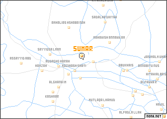
Nearby towns ::
Qal‘at Shakhīr (1.9km east) //
Kāz̧im ash Shāţiʼ (3.0km south west) //
Jāsim al ‘Alawī (4.3km south) //
Ḩusayn al Ḩasan (4.4km south west) //
Ad Daghghārah (5.0km west) //
Mahāwish an Nawwām (6.3km north east) //
Sayyid Salmān (6.5km west) //
Amhalī ash Shabānah (7.7km north) //
Al Ghanāʼim (7.8km south west) //
Sa‘d al Ḩadhīyah (9.4km north east) //
Zubayd Ālbū Ḩayyah (9.4km south west) //
[all distances 'as the bird flies' and approximate] 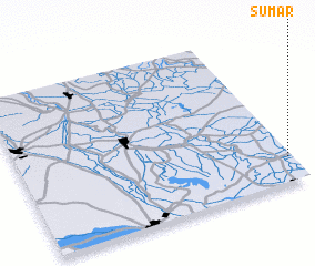 Places with similar names to Sūmar, Iraq ::
Disclaimer :: Information on this page comes without warranty of any kind |
||
|
Where is Sūmar? Elevation and coordinates ::
Latitude (lat): 32°9'21"N Longitude (lon): 44°59'2"E
Elevation (approx.): 24m (map arrows pan, magnifying glasses zoom) |
||
|
Visiting Sūmar? Hotel/Accommodation ::
Book a hotel in Sūmar Travel Guide ::
Buy a travel guide for Iraq rental cars ::
car rental offers GPS waypoint ::
download a GPX waypoint (PoI) of Sūmar for your GPS receiver
|
||