|
search place name
|
||
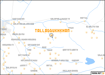
Tall ad Dukhkhān (Maysān, Iraq)Tall ad Dukhkhān is a town in the Maysān region of Iraq. An overview map of the region around Tall ad Dukhkhān is displayed below.
regional and 3d topo map of Tall ad Dukhkhān, Iraq ::
Tall ad Dukhkhān airports ::
The nearest airport is BSR - Basrah Intl, located 142.8 km south of Tall ad Dukhkhān.
Other airports nearby include AWZ - Ahwaz (147.3 km east), ABD - Abadan (181.2 km south east), QMJ - Masjed Soleiman Shahid Asyaee (187.0 km east), MRX - Bandar Mahshahr Mahshahr (223.5 km south east), Nearby towns ::
Fāliḩ al Mūsá (0.9km east) //
Shaykh Badal (0.9km east) //
Ash ShaykhMazhar al Fāliḩ (1.3km west) //
Fāliḩ al Mūsá (2.0km south) //
Rāshid (2.9km north west) //
Muain (3.0km north east) //
‘Āmir (5.2km south west) //
Ţāhir (5.6km south) //
Qaryat Shaykh as Sūdān (5.7km south) //
Ḩātim aş Şayhūd (6.1km south) //
Salaf Ḩājj Ḩusayn (6.0km north east) //
Ḩamad al Jabr (6.4km south) //
Yāsīn (6.1km east) //
Dalbūs (6.8km south west) //
Sūdān (7.5km south) //
Saykh Nāşir (6.7km south west) //
Ḩājjī Şāliḩ (7.5km south) //
Qaryat Şubayḩ (7.9km south east) //
Taqī (9.0km south west) //
[all distances 'as the bird flies' and approximate] 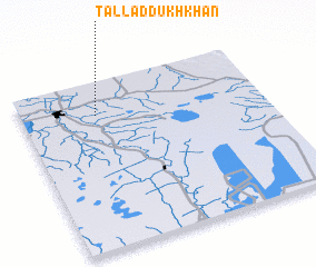 Places with similar names to Tall ad Dukhkhān, Iraq :: Disclaimer :: Information on this page comes without warranty of any kind |
||
|
Where is Tall ad Dukhkhān? Elevation and coordinates ::
Latitude (lat): 31°48'1"N Longitude (lon): 47°18'27"E
Elevation (approx.): 9m (map arrows pan, magnifying glasses zoom) |
||
|
Visiting Tall ad Dukhkhān? Hotel/Accommodation ::
Book a hotel in Tall ad Dukhkhān Travel Guide ::
Buy a travel guide for Iraq rental cars ::
car rental offers GPS waypoint ::
download a GPX waypoint (PoI) of Tall ad Dukhkhān for your GPS receiver
|
||