|
search place name
|
||
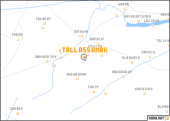
Tall as Samak (Nīnawá, Iraq)Tall as Samak is a town in the Nīnawá region of Iraq. An overview map of the region around Tall as Samak is displayed below.
regional and 3d topo map of Tall as Samak, Iraq ::
Tall as Samak airports ::
The nearest airport is BAL - Batman, located 216.9 km north west of Tall as Samak.
Nearby towns ::
Shuţayfah (1.4km north) //
Al ‘Āshiq (2.8km north west) //
Ţishtah (2.8km north east) //
Abţīr (3.1km north east) //
Ad Dabūnah (4.3km south) //
Barāzīf (4.4km north east) //
Sindūkh (5.4km north) //
Mazra‘ah (4.5km west) //
Mazra‘ah (4.6km north west) //
Kīsīk Kūprī (5.6km north) //
Mazra‘ah (5.1km north west) //
‘Ayn Bayḑah (5.5km west) //
Tuʼaym (6.9km south) //
Abū Mārīyah (6.8km west) //
Mayjarīn (8.1km south east) //
Abū Gaddūr (7.4km south east) //
[all distances 'as the bird flies' and approximate] 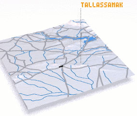 Places with similar names to Tall as Samak, Iraq :: Disclaimer :: Information on this page comes without warranty of any kind |
||
|
Where is Tall as Samak? Elevation and coordinates ::
Latitude (lat): 36°25'32"N Longitude (lon): 42°40'38"E
Elevation (approx.): 333m (map arrows pan, magnifying glasses zoom) |
||
|
Visiting Tall as Samak? Hotel/Accommodation ::
Book a hotel in Tall as Samak Travel Guide ::
Buy a travel guide for Iraq rental cars ::
car rental offers GPS waypoint ::
download a GPX waypoint (PoI) of Tall as Samak for your GPS receiver
|
||