|
search place name
|
||
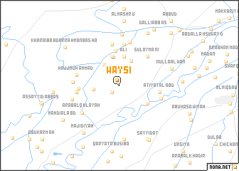
Waysī (Diyālá, Iraq)Waysī is a town in the Diyālá region of Iraq. An overview map of the region around Waysī is displayed below.
regional and 3d topo map of Waysī, Iraq ::
Nearby towns ::
‘Arab ‘Ulwān al Ḩasan (1.4km south west) //
Qawām (2.8km north) //
Qaryat al ‘Ujaymī (3.4km west) //
Sarājiq (3.9km north west) //
Ḩanashī (4.2km north) //
Karīm Khalīl (4.4km north) //
‘Alī (4.6km north) //
Qal‘at Mullā Khādim (4.6km north) //
Muwayliḩ (4.6km north) //
Laţīf al Māshī (4.7km south east) //
Tajdārī (5.5km north) //
Sulaymānī (5.8km north east) //
‘Aţīyat al ‘Abd (5.3km east) //
Huwayrah (6.4km north) //
Marfū‘ (6.4km north) //
Ḩumayrah (5.4km west) //
Tall Abū Turābah (6.5km north) //
Şāliḩ ash Shantaf (5.7km west) //
Dhiyābah (5.8km east) //
‘Umaylah (6.8km north) //
Ḩājj Muḩammad (5.9km west) //
‘Arab al Qulay‘ah (6.5km south west) //
‘Arab Kāz̧im al Ismā‘īl (6.1km west) //
‘Abd Allāh Afandī (6.5km west) //
Suwayjat Zunbūr (8.0km north) //
Abū Şaydah (8.5km south) //
Mullā ‘Alwān (7.3km east) //
Majīdīyah (8.8km south west) //
Shaykh ‘Abd ar Raḩmān (9.0km north east) //
[all distances 'as the bird flies' and approximate] 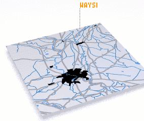 Places with similar names to Waysī, Iraq ::
Disclaimer :: Information on this page comes without warranty of any kind |
||
|
Where is Waysī? Elevation and coordinates ::
Latitude (lat): 33°59'33"N Longitude (lon): 44°46'37"E
Elevation (approx.): 50m (map arrows pan, magnifying glasses zoom) |
||
|
Visiting Waysī? Hotel/Accommodation ::
Book a hotel in Waysī Travel Guide ::
Buy a travel guide for Iraq rental cars ::
car rental offers GPS waypoint ::
download a GPX waypoint (PoI) of Waysī for your GPS receiver
|
||