|
search place name
|
||
Mandarano (Toliara, Madagascar)Mandarano is a town in the Toliara region of Madagascar. An overview map of the region around Mandarano is displayed below.
regional and 3d topo map of Mandarano, Madagascar ::

Mandarano airports ::
The nearest airport is MOQ - Morondava, located 33.0 km west of Mandarano.
Other airports nearby include ZVA - Miandrivazo (118.3 km north east), MXM - Morombe (207.4 km south west), Nearby towns ::
Ankilivalo (1.9km north) //
Soatana (2.5km south west) //
Manambaliha (2.5km north west) //
Ambohibary (3.5km west) //
Antanambao (3.7km south) //
Ambalikida (3.5km east) //
Tanandava (4.1km south west) //
Maneva (3.9km north west) //
Soanierana (3.9km north east) //
Andevonomby (5.2km east) //
Ampasibevihy (5.8km north) //
Betsiriry (5.8km north) //
Analamitsivalana (5.5km east) //
Anahidambo (6.4km north east) //
Bevoay (7.4km north) //
Soafaosa (7.4km south) //
Androhibotsy (7.0km east) //
Bezezika (7.6km south) //
Tanandava II (7.2km east) //
Tsaratanana (10.2km south east) //
[all distances 'as the bird flies' and approximate] 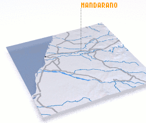 Places with similar names to Mandarano, Madagascar ::
// Minturn (US)
// Minturn (US)
// Minturn (US)
// Mandarin (US)
// Mandern (DE)
// Monteriano (PA)
// Monterone (IT)
// Montrone (IT)
// Monódhrion (GR)
// Mondrón (ES)
Disclaimer :: Information on this page comes without warranty of any kind |
||
|
Where is Mandarano? Elevation and coordinates ::
Latitude (lat): 20°18'0"S Longitude (lon): 44°38'0"E
Elevation (approx.): 59m (map arrows pan, magnifying glasses zoom) |
||
|
Visiting Mandarano? Hotel/Accommodation ::
Book a hotel in Mandarano Travel Guide ::
Buy a travel guide for Madagascar rental cars ::
car rental offers GPS waypoint ::
download a GPX waypoint (PoI) of Mandarano for your GPS receiver
|
||