|
search place name
|
||
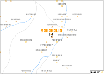
Sakamalio (Toliara, Madagascar)Sakamalio is a town in the Toliara region of Madagascar. An overview map of the region around Sakamalio is displayed below.
regional and 3d topo map of Sakamalio, Madagascar ::
Sakamalio airports ::
The nearest airport is TLE - Toliara, located 87.9 km west of Sakamalio.
Other airports nearby include MXM - Morombe (211.5 km north west), Nearby towns ::
Antanambao (0.0km north) //
Ankilimivory (2.5km south west) //
Morafeno (2.5km south east) //
Vohimary I (3.7km north) //
Fenoambany (4.1km south west) //
Besakoa (3.9km north west) //
Ankilivalo (5.0km north east) //
Ankera-Sarodrano (5.1km east) //
Ankiliarivo (6.5km south west) //
Andranomenatsa (6.5km north east) //
Betavolo (7.1km east) //
Ankiliabo (7.6km south) //
Mandabe (8.2km north east) //
Anadabonampela (9.0km north east) //
Antsavoa (10.1km north west) //
[all distances 'as the bird flies' and approximate] 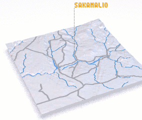 Places with similar names to Sakamalio, Madagascar ::
// Sägmühle (DE)
// Schimmel (DE)
// Schimmel (DE)
// Schmölau (DE)
// Schmölau (DE)
// Wysocko Małe (PL)
// Wysoka Mała (PL)
// Wysokie Małe (PL)
// Wysoki Małe (PL)
// Sakamalio (MG)
Disclaimer :: Information on this page comes without warranty of any kind |
||
|
Where is Sakamalio? Elevation and coordinates ::
Latitude (lat): 23°18'0"S Longitude (lon): 44°35'0"E
Elevation (approx.): 254m (map arrows pan, magnifying glasses zoom) |
||
|
Visiting Sakamalio? Hotel/Accommodation ::
Book a hotel in Sakamalio Travel Guide ::
Buy a travel guide for Madagascar rental cars ::
car rental offers GPS waypoint ::
download a GPX waypoint (PoI) of Sakamalio for your GPS receiver
|
||