|
search place name
|
||
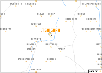
Tsingora (Toliara, Madagascar)Tsingora is a town in the Toliara region of Madagascar. An overview map of the region around Tsingora is displayed below.
regional and 3d topo map of Tsingora, Madagascar ::
Tsingora airports ::
The nearest airport is TLE - Toliara, located 80.2 km south west of Tsingora.
Other airports nearby include MXM - Morombe (185.6 km north west), Nearby towns ::
Mahabo (0.0km north) //
Mahazoarivo (3.7km south) //
Adabofolo (3.9km south west) //
Belamoty (3.9km north west) //
Bereketa (5.4km west) //
Tonave (6.5km south east) //
Miary-Andranotsara (6.5km south east) //
Adabofolo (6.3km north west) //
Mihaiky (7.4km north) //
Bekinana (7.4km north) //
Andoharano (7.6km north east) //
Behevo (8.2km north west) //
Mandrano (7.8km south west) //
Antanimora (8.8km north east) //
Soarano (8.8km south west) //
[all distances 'as the bird flies' and approximate] 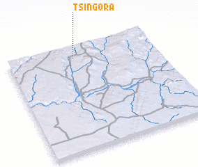 Places with similar names to Tsingora, Madagascar ::
// Tsenogora (RU)
// Dezenacker (DE)
// Dasnagar (BD)
// Dāsnagar (BD)
// Tassénégourou (BJ)
// Dzongri (IN)
// Das Ngrou (SN)
// Dazingor (SD)
// Tsinagari (GE)
Disclaimer :: Information on this page comes without warranty of any kind |
||
|
Where is Tsingora? Elevation and coordinates ::
Latitude (lat): 23°6'0"S Longitude (lon): 44°27'0"E
Elevation (approx.): 390m (map arrows pan, magnifying glasses zoom) |
||
|
Visiting Tsingora? Hotel/Accommodation ::
Book a hotel in Tsingora Travel Guide ::
Buy a travel guide for Madagascar rental cars ::
car rental offers GPS waypoint ::
download a GPX waypoint (PoI) of Tsingora for your GPS receiver
|
||