|
search place name
|
||
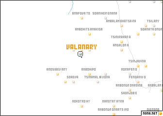
Valanary (Fianarantsoa, Madagascar)Valanary is a town in the Fianarantsoa region of Madagascar. An overview map of the region around Valanary is displayed below.
regional and 3d topo map of Valanary, Madagascar ::
Valanary airports ::
The nearest airport is WFI - Fianarantsoa, located 77.9 km south east of Valanary.
Other airports nearby include MNJ - Mananjary (170.9 km east), WVK - Manakara (194.3 km south east), ZVA - Miandrivazo (195.4 km north west), RVA - Farafangana (245.7 km south east), Nearby towns ::
Ianakoano (1.9km north) //
Andohapatsakana (2.5km north east) //
Ampangabe (2.5km north west) //
Ambohipo (4.1km south east) //
Ambohitsanakisa (5.8km north) //
Soaeva (5.8km south) //
Andraveloma (6.6km south east) //
Tsimamaliavona (6.6km south east) //
Ambodilandy (6.4km south east) //
Anosibevary (6.4km south west) //
Antanifotsy (6.6km south west) //
[all distances 'as the bird flies' and approximate]  Places with similar names to Valanary, Madagascar ::
// Fuhlenrüe (DE)
// Fleener (US)
// Vŭlnari (BG)
// Valnera (ES)
// Villa Nora (ZA)
// Villa Nora (ZA)
// Flener (US)
// Vallenar (CL)
// Villa Nury (CO)
// Villianur (IN)
Disclaimer :: Information on this page comes without warranty of any kind |
||
|
Where is Valanary? Elevation and coordinates ::
Latitude (lat): 20°49'0"S Longitude (lon): 46°46'0"E
Elevation (approx.): 1332m (map arrows pan, magnifying glasses zoom) |
||
|
Visiting Valanary? Hotel/Accommodation ::
Book a hotel in Valanary Travel Guide ::
Buy a travel guide for Madagascar rental cars ::
car rental offers GPS waypoint ::
download a GPX waypoint (PoI) of Valanary for your GPS receiver
|
||