|
search place name
|
||
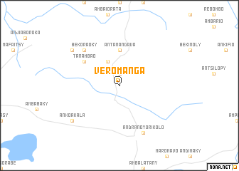
Veromanga (Mahajanga, Madagascar)Veromanga is a town in the Mahajanga region of Madagascar. An overview map of the region around Veromanga is displayed below.
regional and 3d topo map of Veromanga, Madagascar ::
Veromanga airports ::
The nearest airport is BPY - Besalampy, located 84.4 km north of Veromanga.
Nearby towns ::
Soarano (1.9km north) //
Kimanambolo (4.1km north west) //
Antanandava (5.6km north) //
Tanambao (6.5km north west) //
Bekoraoky (7.7km north west) //
Andranoyorikolo (8.2km south east) //
Ankoakala (9.0km south west) //
Ankoromokoty (9.0km north west) //
[all distances 'as the bird flies' and approximate] 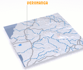 Places with similar names to Veromanga, Madagascar ::
// Farming (US)
// Frambunga (ID)
// Fouramouanga (GA)
// Fouroumanga (GA)
// Varāmīnak (IR)
// Varmanik (TJ)
// Freyming (FR)
// Varming (DK)
// Vrmnica (CS)
// Virming (FR)
Disclaimer :: Information on this page comes without warranty of any kind |
||
|
Where is Veromanga? Elevation and coordinates ::
Latitude (lat): 17°28'0"S Longitude (lon): 44°14'0"E
Elevation (approx.): 74m (map arrows pan, magnifying glasses zoom) |
||
|
Visiting Veromanga? Hotel/Accommodation ::
Book a hotel in Veromanga Travel Guide ::
Buy a travel guide for Madagascar rental cars ::
car rental offers GPS waypoint ::
download a GPX waypoint (PoI) of Veromanga for your GPS receiver
|
||