|
search place name
|
||
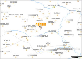
Abābīn (Iran)Abābīn is a town in Iran. An overview map of the region around Abābīn is displayed below.
regional and 3d topo map of Abābīn, Iran ::
Abābīn airports ::
The nearest airport is RAS - Rasht, located 129.0 km east of Abābīn.
Other airports nearby include TBZ - Tabriz Intl (189.0 km north west), Nearby towns ::
Qeshlāq (1.2km north) //
Konjīn (1.7km south west) //
Kahvarīn (3.2km north) //
Shāh ‘Alī Beyglū (3.8km south) //
Sahlābād (3.4km west) //
Rashīdābād (3.6km west) //
Qārāb-e Soflá (4.8km north) //
Bāghbānān-e Soflá (5.1km north) //
Valestān (4.4km east) //
Mendejīn (4.8km north east) //
Kāvān (4.9km north east) //
Kajal (5.6km north east) //
Bāghbānān-e ‘Olyā (5.9km north) //
Qārāb-e ‘Olyā (6.3km north west) //
Golgolāb (5.4km west) //
Qal‘eh Sang (7.1km north) //
Khalaf (5.8km west) //
Senjīdeh (6.1km east) //
‘Olyājeh (6.6km south west) //
Owlīācheh (6.6km south west) //
Qūchqār (6.8km south west) //
Devīj (7.5km south) //
Shamsābād (6.8km north east) //
Gūrjaq (6.8km north west) //
Dīz (7.8km north east) //
Askavaq (8.2km north) //
Sheykhlar (8.5km south) //
Tāzeh Kand (7.7km south west) //
Qūsajīn (8.8km north east) //
[all distances 'as the bird flies' and approximate] 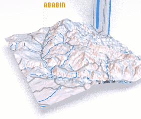 Places with similar names to Abābīn, Iran ::
Disclaimer :: Information on this page comes without warranty of any kind |
||
|
Where is Abābīn? Elevation and coordinates ::
Latitude (lat): 37°22'11"N Longitude (lon): 48°9'5"E
Elevation (approx.): 1506m (map arrows pan, magnifying glasses zoom) |
||
|
Visiting Abābīn? Hotel/Accommodation ::
Book a hotel in Abābīn Travel Guide ::
Buy a travel guide for Iran rental cars ::
car rental offers GPS waypoint ::
download a GPX waypoint (PoI) of Abābīn for your GPS receiver
|
||