|
search place name
|
||
‘Abbāsābād (Golestān, Iran)‘Abbāsābād is a town in the Golestān region of Iran. An overview map of the region around ‘Abbāsābād is displayed below.
regional and 3d topo map of ‘Abbāsābād, Iran ::
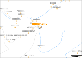
Nearby towns ::
Tīlābād (1.6km north west) //
Moḩammad ‘Alīābād (2.4km north west) //
Dormīshī-ye Pā'īn (3.0km west) //
Kalāteh-ye Ḩājjī Nowrūz (3.5km north west) //
Qūzdovī (4.0km north west) //
Ghoznavī (4.7km north west) //
Cheshmeh Shūrsū (4.8km south west) //
Dormīshī-ye Bālā (4.8km south west) //
Zardābeh (8.6km south) //
[all distances 'as the bird flies' and approximate] 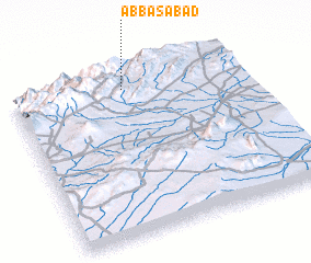 Places with similar names to ‘Abbāsābād, Iran ::
// 'Abāsābād (IR)
// Abbāsābād (IR)
// Abbāsābād (IR)
// Abbāsābād (IR)
// Abū Zabad (SD)
// Abbāsābād (PK)
// ‘Abbāsābād (IR)
// ‘Abas̄ābād (IR)
// ‘Abāsābād (IR)
// ‘Abbasābād (IR)
Disclaimer :: Information on this page comes without warranty of any kind |
||
|
Where is ‘Abbāsābād? Elevation and coordinates ::
Latitude (lat): 36°54'0"N Longitude (lon): 55°29'0"E
Elevation (approx.): 1162m (map arrows pan, magnifying glasses zoom) |
||
|
Visiting ‘Abbāsābād? Hotel/Accommodation ::
Book a hotel in ‘Abbāsābād Travel Guide ::
Buy a travel guide for Iran rental cars ::
car rental offers GPS waypoint ::
download a GPX waypoint (PoI) of ‘Abbāsābād for your GPS receiver
|
||