|
search place name
|
||
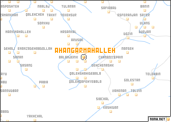
Āhangar Maḩalleh (Iran)Āhangar Maḩalleh is a town in Iran. An overview map of the region around Āhangar Maḩalleh is displayed below.
regional and 3d topo map of Āhangar Maḩalleh, Iran ::
Nearby towns ::
Dojowz (0.0km north) //
Tīgh Zamīn (0.0km north) //
Zamīn Shāhī (1.9km south) //
Varcheshmeh (1.9km south) //
Derūk (1.9km north) //
Kūh Kamar (1.5km west) //
Kafsh Maḩalleh (2.4km south west) //
Zendān Chāl (2.4km north west) //
Qal‘eh Shahīd-e Bālā (3.7km south) //
Balam Jerīk (3.0km west) //
Var Cheshmeh (3.7km south) //
Deh Chenāshk (3.5km south east) //
Qal‘eh Qāfeh-ye Pā'īn (4.0km south) //
‘Alīābād (4.0km north) //
‘Arūsak (4.0km north) //
Rīg Cheshmeh (4.7km north west) //
Chamānī-ye Vasaţ (4.4km east) //
Chamānī-ye Pāʼīn (4.4km east) //
Qal‘eh Qāfeh-ye Bālā (5.6km south) //
Chamānī-ye Bālā (4.4km east) //
Ḩasan Kal (6.3km north west) //
Tarsheh (5.9km east) //
Vāmenān (9.5km south east) //
[all distances 'as the bird flies' and approximate] 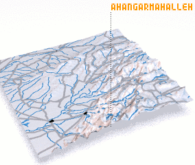 Places with similar names to Āhangar Maḩalleh, Iran ::
// Āhangar Maḩalleh (IR)
// Āhangar Maḩalleh (IR)
// Āhangar Maḩalleh (IR)
// Āhangar Maḩalleh (IR)
// Āhangar Maḩalleh (IR)
Disclaimer :: Information on this page comes without warranty of any kind |
||
|
Where is Āhangar Maḩalleh? Elevation and coordinates ::
Latitude (lat): 37°5'0"N Longitude (lon): 55°30'0"E
Elevation (approx.): 1400m (map arrows pan, magnifying glasses zoom) |
||
|
Visiting Āhangar Maḩalleh? Hotel/Accommodation ::
Book a hotel in Āhangar Maḩalleh Travel Guide ::
Buy a travel guide for Iran rental cars ::
car rental offers GPS waypoint ::
download a GPX waypoint (PoI) of Āhangar Maḩalleh for your GPS receiver
|
||