|
search place name
|
||
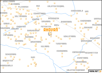
Āhovān (Khorāsān, Iran)Āhovān is a town in the Khorāsān region of Iran. An overview map of the region around Āhovān is displayed below.
regional and 3d topo map of Āhovān, Iran ::
Āhovān airports ::
The nearest airport is ASB - Ashkhabad Ashgabat, located 217.0 km north of Āhovān.
Nearby towns ::
‘Abīrābād (0.0km north west) //
Qal‘eh Now Rūz (0.9km north) //
Mehdīābād-e Qal‘eh Now (0.9km north) //
‘Abdollāhābād (1.6km north) //
Dastjerd-e Aqā Bozorg (1.9km south east) //
Karīmābād (1.6km east) //
Fatḩābād (1.8km south west) //
Ebrāhīmābād-e Hāshemī (2.5km south) //
Moḩsenābād (2.7km north) //
‘Abbāsābād (2.3km east) //
Fāţemīyeh (3.1km north west) //
‘Alīābād-e Bahlūl (3.1km north west) //
Kārīz-e Şabāḩ (3.0km south west) //
Qāsemābād (2.9km west) //
Dehnow-e Mahdavī (3.0km east) //
Amīrābād (3.1km west) //
Eqbālī (3.1km west) //
Borj (3.7km north east) //
Hāshemābād (3.2km east) //
Borj (3.9km north east) //
Na‘īmābād (4.6km north) //
Mehdīābād (4.3km north west) //
Sa‘īdābād (4.8km north) //
Kāz̧emābād (4.8km north) //
Kūlābād (4.9km south) //
Yūsefābad (4.7km south east) //
Raḩīmābād (4.4km west) //
Zanqāh (5.6km south) //
Manşūrīyeh (4.7km west) //
[all distances 'as the bird flies' and approximate] 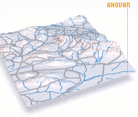
Disclaimer :: Information on this page comes without warranty of any kind |
||
|
Where is Āhovān? Elevation and coordinates ::
Latitude (lat): 36°5'32"N Longitude (lon): 58°57'56"E
Elevation (approx.): 1218m (map arrows pan, magnifying glasses zoom) |
||
|
Visiting Āhovān? Hotel/Accommodation ::
Book a hotel in Āhovān Travel Guide ::
Buy a travel guide for Iran rental cars ::
car rental offers GPS waypoint ::
download a GPX waypoint (PoI) of Āhovān for your GPS receiver
|
||