|
search place name
|
||
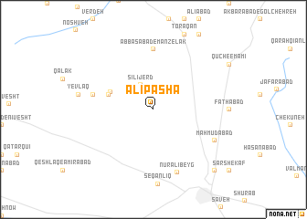
‘Alī Pāshā (Iran)‘Alī Pāshā is a town in Iran. An overview map of the region around ‘Alī Pāshā is displayed below.
regional and 3d topo map of ‘Alī Pāshā, Iran ::
‘Alī Pāshā airports ::
The nearest airport is THR - Teheran Mehrabad Intl, located 111.8 km north east of ‘Alī Pāshā.
Other airports nearby include RZR - Ramsar (201.9 km north), Nearby towns ::
Sīlījerd (3.3km north west) //
Bāgh-e Shāhī (4.9km north west) //
Charmak (4.9km west) //
‘Abbāsābād-e Manzelak (7.4km north) //
Dīnārābād (6.3km west) //
Nūr ‘Alī Beyg (7.9km south) //
Maḩmūdābād (7.1km south east) //
‘Abdollāhābād (9.6km south east) //
[all distances 'as the bird flies' and approximate] 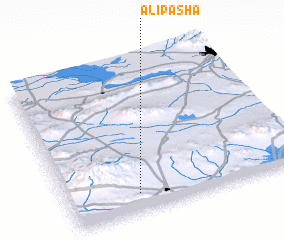
Disclaimer :: Information on this page comes without warranty of any kind |
||
|
Where is ‘Alī Pāshā? Elevation and coordinates ::
Latitude (lat): 35°7'0"N Longitude (lon): 50°18'0"E
Elevation (approx.): 1349m (map arrows pan, magnifying glasses zoom) |
||
|
Visiting ‘Alī Pāshā? Hotel/Accommodation ::
Book a hotel in ‘Alī Pāshā Travel Guide ::
Buy a travel guide for Iran rental cars ::
car rental offers GPS waypoint ::
download a GPX waypoint (PoI) of ‘Alī Pāshā for your GPS receiver
|
||