|
search place name
|
||
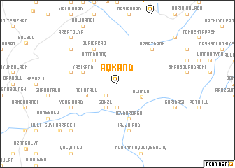
Āqkand (Ostān-e Āz̄arbāyjān-e Gharbī, Iran)Āqkand is a town in the Ostān-e Āz̄arbāyjān-e Gharbī region of Iran. An overview map of the region around Āqkand is displayed below.
regional and 3d topo map of Āqkand, Iran ::
Āqkand airports ::
The nearest airport is TBZ - Tabriz Intl, located 134.3 km north of Āqkand.
Other airports nearby include SDG - Sanandaj (195.9 km south), Nearby towns ::
Tāzeh Kand (2.4km south west) //
Zāgheh (2.4km south west) //
Ātdarrahsī (3.7km south) //
Gowzlī (4.0km south) //
Ūlāmchī (3.7km south east) //
Ūrtā Daraq (4.7km north west) //
Nokhtālū (4.4km south west) //
Ḩeydar Bāghī (5.8km south) //
Yāsī Kand (4.8km north west) //
Qūrī Daraq (6.3km north west) //
Ḩājjī Kandī (7.6km south) //
Lālehlū (6.2km west) //
Arbat Dāgh (7.1km north east) //
Yengīābād (7.0km south west) //
Arbaţ-e Soflá (8.1km north west) //
Arbaţ ‘Olyā (9.5km north west) //
Ālī (9.5km south west) //
[all distances 'as the bird flies' and approximate] 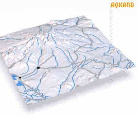 Places with similar names to Āqkand, Iran ::
Disclaimer :: Information on this page comes without warranty of any kind |
||
|
Where is Āqkand? Elevation and coordinates ::
Latitude (lat): 37°0'0"N Longitude (lon): 46°46'0"E
Elevation (approx.): 2122m (map arrows pan, magnifying glasses zoom) |
||
|
Visiting Āqkand? Hotel/Accommodation ::
Book a hotel in Āqkand Travel Guide ::
Buy a travel guide for Iran rental cars ::
car rental offers GPS waypoint ::
download a GPX waypoint (PoI) of Āqkand for your GPS receiver
|
||