|
search place name
|
||
Āryā Shahr (Eşfahān, Iran)Āryā Shahr is a town in the Eşfahān region of Iran. An overview map of the region around Āryā Shahr is displayed below.
regional and 3d topo map of Āryā Shahr, Iran ::
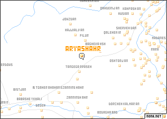
Nearby towns ::
Tang-e Gārpaseh (2.9km south) //
Solţānābād (2.9km north east) //
Bāgh-e Vaḩsh (3.4km north east) //
Kārūyeh (3.6km north east) //
Fīlūr (4.3km north) //
Pūlād Shahr (4.6km south) //
Ḩājjī Alvān (5.8km north) //
Īstgāh-e Rāhāhan-e Rīz (7.6km south) //
Esfahrān (6.9km north east) //
Qal‘eh-e Mīr (7.4km north east) //
Oshtorjān (7.0km east) //
Jowzdān (8.4km north) //
Bondārt (8.0km north east) //
Īstgāh-e Rāhāhan-e Zarrīn Shahr (8.8km south west) //
[all distances 'as the bird flies' and approximate] 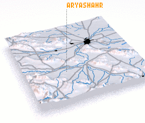 Places with similar names to Āryā Shahr, Iran :: Disclaimer :: Information on this page comes without warranty of any kind |
||
|
Where is Āryā Shahr? Elevation and coordinates ::
Latitude (lat): 32°29'0"N Longitude (lon): 51°24'0"E
Elevation (approx.): 1667m (map arrows pan, magnifying glasses zoom) |
||
|
Visiting Āryā Shahr? Hotel/Accommodation ::
Book a hotel in Āryā Shahr Travel Guide ::
Buy a travel guide for Iran rental cars ::
car rental offers GPS waypoint ::
download a GPX waypoint (PoI) of Āryā Shahr for your GPS receiver
|
||