|
search place name
|
||
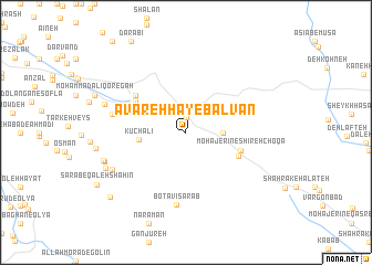
Āvārehhā-ye Balvān (Ostān-e Kermānshāh, Iran)Āvārehhā-ye Balvān is a town in the Ostān-e Kermānshāh region of Iran. An overview map of the region around Āvārehhā-ye Balvān is displayed below.
regional and 3d topo map of Āvārehhā-ye Balvān, Iran ::
Āvārehhā-ye Balvān airports ::
The nearest airport is KSH - Bakhtaran Shahid Ashrafi Esfahani, located 102.0 km east of Āvārehhā-ye Balvān.
Other airports nearby include SDG - Sanandaj (129.8 km north east), Nearby towns ::
Sorkheh Dīzeh (1.5km north) //
Shahrak-e Sorkheh Dīzeh (1.9km north) //
Shahrak-e Shahīd Bābā'ī (3.1km east) //
Kūchālī (4.0km west) //
Shīreh Cheqā (5.0km south east) //
Mohājerīn-e Shīreh Choqā (4.9km east) //
Rafī‘ (5.3km north west) //
Pāţāq (5.6km north west) //
Pal-e Bīd (6.0km north west) //
Botāvī Sarāb (7.3km south) //
Fūlādī (6.4km west) //
Kūhālī (6.4km west) //
Tang-e Esmā‘īl (7.2km south west) //
Dār Balūţ (7.2km south west) //
Kūsheh (7.3km north west) //
Soleymān (7.4km south west) //
Esmā‘īlābād (7.4km west) //
Lavāsānī (7.6km south west) //
Kalāveh (9.0km south west) //
[all distances 'as the bird flies' and approximate] 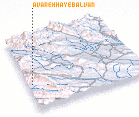 Places with similar names to Āvārehhā-ye Balvān, Iran :: Disclaimer :: Information on this page comes without warranty of any kind |
||
|
Where is Āvārehhā-ye Balvān? Elevation and coordinates ::
Latitude (lat): 34°23'0"N Longitude (lon): 46°3'0"E
Elevation (approx.): 1571m (map arrows pan, magnifying glasses zoom) |
||
|
Visiting Āvārehhā-ye Balvān? Hotel/Accommodation ::
Book a hotel in Āvārehhā-ye Balvān Travel Guide ::
Buy a travel guide for Iran rental cars ::
car rental offers GPS waypoint ::
download a GPX waypoint (PoI) of Āvārehhā-ye Balvān for your GPS receiver
|
||