|
search place name
|
||
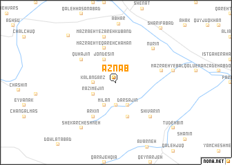
Aznāb (Iran)Aznāb is a town in Iran. An overview map of the region around Aznāb is displayed below.
regional and 3d topo map of Aznāb, Iran ::
Aznāb airports ::
The nearest airport is RAS - Rasht, located 145.7 km north of Aznāb.
Other airports nearby include RZR - Ramsar (162.1 km north east), Nearby towns ::
Khalīfeh Ḩeşār-e Mīlān (3.7km south) //
Kalangarz (3.0km west) //
Darsajīn (4.0km south) //
Mīlān (4.0km south) //
Chandesīn (4.0km north) //
Jondesīn (4.0km north) //
Azmaḩīn (3.5km south west) //
Rāẕīmejīn (3.5km south west) //
Āghcheh Kand (5.8km south) //
Mazra‘eh-ye Qareh Chaman (5.8km north) //
Qūhajīn (5.8km north west) //
Āqjeh Kand (6.3km south west) //
Arkīn (6.3km south west) //
Bālīkhlī (6.3km east) //
Bāleqlū (6.3km east) //
Mazra‘eh-ye Zarehkūband (7.6km north) //
Shīvarīn (7.2km south east) //
Nūrīn (7.3km north east) //
Shekar Cheshmeh (8.7km south west) //
Meymūn Darreh (9.8km north west) //
Sharīfābād (10.6km north east) //
[all distances 'as the bird flies' and approximate]  Places with similar names to Aznāb, Iran ::
Disclaimer :: Information on this page comes without warranty of any kind |
||
|
Where is Aznāb? Elevation and coordinates ::
Latitude (lat): 36°3'0"N Longitude (lon): 49°13'0"E
Elevation (approx.): 1722m (map arrows pan, magnifying glasses zoom) |
||
|
Visiting Aznāb? Hotel/Accommodation ::
Book a hotel in Aznāb Travel Guide ::
Buy a travel guide for Iran rental cars ::
car rental offers GPS waypoint ::
download a GPX waypoint (PoI) of Aznāb for your GPS receiver
|
||