|
search place name
|
||
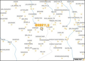
Bābāylū (Iran)Bābāylū is a town in Iran. An overview map of the region around Bābāylū is displayed below.
regional and 3d topo map of Bābāylū, Iran ::
Bābāylū airports ::
The nearest airport is TBZ - Tabriz Intl, located 125.2 km south west of Bābāylū.
Nearby towns ::
Qāsem Kandī (1.6km south west) //
Gerdeh Zāylū (2.6km north) //
Khānqā (2.4km west) //
Elyūrdī (2.5km east) //
Pīrgūrī (2.5km east) //
Dāsh Ūchān (3.6km south) //
Ţīn (3.3km north west) //
Par Talū (3.2km east) //
Shīrūyeh (4.7km north) //
Khān Kandī (3.9km east) //
Pīrāmāshān (5.1km south) //
Pīrlar-e Soflá (5.0km north east) //
Pīrlar-e ‘Olyā (5.0km north east) //
Tappeh Īshī Bālā (4.6km north east) //
Seqīn (4.4km west) //
Qalyānsāz (5.0km north east) //
‘Abd ol Razzāq (5.6km north east) //
Dūlān (6.7km south) //
Qal‘ehlū (5.7km south west) //
‘Omrānābād (6.7km north) //
Āvanlū (6.0km north west) //
Bashāb (7.5km north) //
Asīrān (6.0km west) //
Īchī Daraq (7.1km north west) //
Sīrān (6.8km south west) //
Khālān (6.6km east) //
Pīreh Yūsefīān-e ‘Olyā (7.2km south east) //
Owtū Kandī (6.9km north east) //
Mūlān (8.2km north east) //
[all distances 'as the bird flies' and approximate] 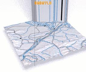 Places with similar names to Bābāylū, Iran ::
Disclaimer :: Information on this page comes without warranty of any kind |
||
|
Where is Bābāylū? Elevation and coordinates ::
Latitude (lat): 39°0'37"N Longitude (lon): 47°8'20"E
Elevation (approx.): 1266m (map arrows pan, magnifying glasses zoom) |
||
|
Visiting Bābāylū? Hotel/Accommodation ::
Book a hotel in Bābāylū Travel Guide ::
Buy a travel guide for Iran rental cars ::
car rental offers GPS waypoint ::
download a GPX waypoint (PoI) of Bābāylū for your GPS receiver
|
||