|
search place name
|
||
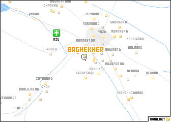
Bāgh-e Kher (Iran)Bāgh-e Kher is a town in Iran. An overview map of the region around Bāgh-e Kher is displayed below.
regional and 3d topo map of Bāgh-e Kher, Iran ::
Bāgh-e Kher airports ::
The nearest airport is AZD - Yazd Shahid Sadooghi, located 8.1 km north west of Bāgh-e Kher.
Nearby towns ::
Bāgh-e Nāşer (1.6km east) //
Qāsemābād (1.6km east) //
Taqīābād (1.9km east) //
‘Eyshābād (2.4km north) //
Kheyrābād (2.4km north west) //
Kheyrābād (2.4km north east) //
Aharestān (3.4km north) //
Bāgh-e Shāh (3.7km south) //
Bāgh-e Nāşer (3.1km east) //
Khorramshāh (3.6km north east) //
Dakhīmeh (3.6km south east) //
Na‘īmābād (3.4km north east) //
Dardorān (4.9km north east) //
Mazra‘eh-ye Horafteh (4.7km east) //
Sar-e Dorāh (5.8km north) //
Mehdīābād (5.2km east) //
Yazd (6.2km north east) //
Najafābād (5.8km east) //
Naşrābād (7.2km north) //
Shaḩneh (6.7km west) //
Raḩmatābād (7.3km south east) //
Maryamābād (7.6km north east) //
Raḩīmābād (8.1km north east) //
'asanābād (8.4km north east) //
Zeynābād (9.0km south west) //
Şadrābād (9.7km north east) //
Cham (9.9km south west) //
[all distances 'as the bird flies' and approximate] 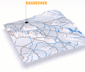 Places with similar names to Bāgh-e Kher, Iran :: Disclaimer :: Information on this page comes without warranty of any kind |
||
|
Where is Bāgh-e Kher? Elevation and coordinates ::
Latitude (lat): 31°51'0"N Longitude (lon): 54°20'0"E
Elevation (approx.): 1250m (map arrows pan, magnifying glasses zoom) |
||
|
Visiting Bāgh-e Kher? Hotel/Accommodation ::
Book a hotel in Bāgh-e Kher Travel Guide ::
Buy a travel guide for Iran rental cars ::
car rental offers GPS waypoint ::
download a GPX waypoint (PoI) of Bāgh-e Kher for your GPS receiver
|
||